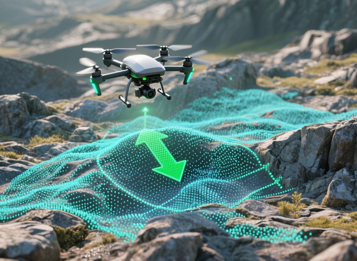
Precision in altitude measurement is one of the most critical elements for drones, small UAVs, and even ground robots that rely on accurate height sensing to operate safely. A difference of only a few centimeters can determine whether a drone lands smoothly on a designated pad or tips over on uneven terrain. Traditional barometric sensors and optical systems have long been used, but their limitations often become evident in environments with fast-changing weather, dust, or uneven lighting.
This is where millimeter-wave radar altimeters provide a breakthrough. Unlike sensors that depend on light or air pressure, millimeter-wave radar measures altitude using electromagnetic waves that penetrate fog, dust, rain, and other visual or atmospheric disturbances. For applications such as low-altitude hovering, precision landing, and autonomous takeoff, radar enables robust and repeatable measurements.
Why Small Altitude Changes Matter
In real-world scenarios, small altitude changes—sometimes less than 5 cm—can have an outsized impact. Consider:
-
Delivery drones: A misjudgment of 10 cm can cause a package to be dropped improperly, leading to customer dissatisfaction or damaged goods.
-
Surveying drones: When mapping ground terrain, altitude accuracy directly affects data precision. Even small drifts can result in inaccurate 3D models.
-
Industrial robots: For robots operating close to the ground or navigating ramps, slight errors in elevation perception can increase the risk of collision or inefficiency.
These examples illustrate why reliable detection of micro-altitude changes is not just a performance advantage, but often a safety requirement.
The Millimeter-Wave Advantage
Millimeter-wave radar operates at frequencies such as 60GHz, 77GHz, or 79GHz, offering centimeter-level resolution in distance measurement. For altitude detection, this translates into:
-
High Accuracy: Able to detect height differences smaller than 2 cm.
-
Robust Performance: Works in rain, snow, or fog where optical systems fail.
-
Low Latency: Real-time response ensures drones can make instant adjustments during takeoff or landing.
-
Compact Integration: Modern radar altimeters are lightweight, making them suitable for drones where every gram matters.
For instance, Linpowave’s radar altimeter solutions have been deployed in UAV systems where precise low-altitude sensing is critical for safe landing on complex terrains.
Real-World Application Example
One practical use case comes from precision agriculture. UAVs equipped with radar altimeters can maintain stable low-altitude flight over crops, ensuring uniform spraying or scanning. Variations in crop height or terrain slope often mislead optical sensors, but radar provides continuous, stable altitude feedback.
Another emerging application is urban drone delivery, where UAVs need to land on rooftops or platforms with variable surfaces. In such environments, GPS may provide overall position, but only radar can guarantee that the drone knows whether it is 0.5 meters or 0.55 meters above the landing pad.
For more context on the growing drone delivery sector, see Drone Industry Insights.
Future Outlook
As UAV regulations become more stringent and operations expand into urban and industrial environments, demand for reliable altitude detection will only grow. Millimeter-wave radar altimeters are expected to play a central role in enabling autonomous drone ecosystems, ensuring both safety and efficiency.
Linpowave is continuously improving radar performance, reducing power consumption, and expanding detection ranges to serve a broader set of industries. Whether it is agriculture, logistics, surveying, or robotics, precise altitude measurement remains one of the most critical—and sometimes underestimated—requirements for autonomy.
FAQ: Millimeter-Wave Radar Altimeters
Q1. How accurate is a millimeter-wave radar altimeter compared to barometric sensors?
Millimeter-wave radar altimeters typically achieve centimeter-level accuracy, while barometric sensors often drift due to temperature and pressure changes. This makes radar the more reliable option for precision landing and low-altitude hovering. See Linpowave Radar Technology for more details.
Q2. Can radar altimeters work in poor weather or low-visibility conditions?
Yes. Unlike optical or LiDAR systems, millimeter-wave radar penetrates fog, dust, rain, and snow. This ensures consistent altitude readings in environments where vision-based sensors fail. The FAA UAS Weather Guidelines highlight how weather can limit drone operations, making radar a valuable solution.
Q3. Are millimeter-wave radar altimeters suitable for small drones?
Absolutely. Modern radar modules are lightweight and energy-efficient. They can be integrated into compact UAV platforms without significantly affecting flight time or payload capacity. Check our compact UAV radar products for integration examples.
Q4. What industries benefit the most from radar-based altitude detection?
Key industries include drone delivery, precision agriculture, surveying and mapping, and industrial robotics. In all cases, reliable micro-altitude detection enhances both safety and efficiency.


