Introduction: Beyond Perception to Intelligent Operations
Urban autonomous delivery is no longer just a concept—it’s a real, fast-growing industry challenged by dense pedestrian traffic, unpredictable obstacles, and variable environmental conditions. Traditional sensors like cameras or LiDAR struggle under poor lighting or bad weather, leaving gaps in safety and efficiency.
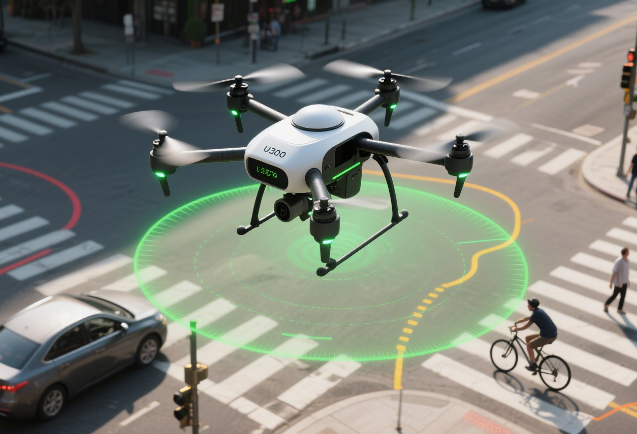
Millimeter-wave (mmWave) radar addresses these challenges by providing stable, multi-dimensional perception that supports behavior prediction, dynamic decision-making, and coordinated operations. Linpowave’s U300 Drone Radar and V200 Vehicle Radar serve as practical examples of turning raw perception into actionable intelligence for real-world urban logistics.
1. Case Study: Drone Delivery in High-Density Urban Streets
Scenario
A drone fleet delivers packages in a crowded downtown district during peak hours. Pedestrians cross streets unpredictably, delivery robots share narrow sidewalks, and traffic conditions change rapidly.
How Radar Adds Value
-
Dynamic Obstacle Detection: U300 radar detects moving pedestrians and temporary obstacles, enabling drones to adjust flight paths in real time.
-
Predictive Trajectory Analysis: By monitoring pedestrian speed and trajectory, the system predicts possible crossing points, avoiding last-second maneuvers that could compromise safety.
-
Optimized Flight Paths: Radar data allows drones to choose safer and faster paths, maintaining timely deliveries even in congested areas.
Result: Reduced collision risk and more reliable delivery times without manual intervention.
2. Coordinated Ground and Aerial Delivery
Scenario
In a university campus, autonomous ground vehicles (AGVs) and drones work together to deliver food and parcels. Multiple platforms operate simultaneously in tight corridors and shared spaces.
Radar’s Role
-
Shared Environmental Awareness: V200 vehicle radar provides ground-level perception, while U300 supplies aerial data. The fleet’s central system merges both data streams for a unified situational picture.
-
Collision Avoidance Across Platforms: Vehicles and drones adjust paths in real time to avoid conflicts with each other.
-
Adaptive Scheduling: The system dynamically allocates deliveries based on real-time traffic and pedestrian patterns, ensuring efficiency.
Result: Safe multi-platform operations that maximize throughput without increasing fleet size.
3. All-Weather Operations in Variable Conditions
Scenario
A logistics company operates late-night deliveries in a city prone to fog, rain, and occasional snow. Traditional camera-based sensors frequently fail under these conditions.
Radar Advantage
-
Weather-Resilient Perception: Millimeter-wave radar penetrates fog, rain, and dust, maintaining accurate detection.
-
Consistent Obstacle Tracking: Even in low visibility, radar tracks moving objects reliably, allowing drones and AGVs to adjust in real time.
-
Continuous Service: Deliveries continue uninterrupted, maintaining operational reliability and customer satisfaction.
Result: 24/7 operations with minimized weather-related delays.
4. Behavior Prediction and Risk Mitigation
Scenario
Autonomous delivery vehicles share city streets with cyclists, scooters, and pedestrians whose movements are unpredictable.
Radar’s Contribution
-
Behavior Prediction Algorithms: Continuous radar data feed allows AI models to anticipate short-term behavior of dynamic objects.
-
Proactive Decision-Making: Vehicles slow down, reroute, or pause to prevent potential collisions before they occur.
-
Reduced Operational Risk: Early detection and prediction reduce accidents, insurance claims, and liability.
Result: A safer, more reliable delivery network that balances speed with risk mitigation.
5. Scaling Smart Logistics Networks
Scenario
A metropolitan delivery hub coordinates hundreds of autonomous drones and AGVs for same-day deliveries.
Radar’s Role in Scaling
-
Multi-Platform Coordination: Real-time radar data allows simultaneous operation of aerial and ground fleets.
-
Data-Driven Optimization: Fleet routing, loading, and energy consumption are optimized using radar-informed situational awareness.
-
Future-Proof Infrastructure: Radar-enabled networks can integrate new platforms and sensors without reengineering the core system.
Result: Scalable, efficient, and safe smart logistics capable of handling high demand during peak hours.
Conclusion
Millimeter-wave radar is more than a sensing technology—it is the foundation for intelligent, safe, and efficient autonomous delivery systems. Linpowave’s U300 Drone Radar and V200 Vehicle Radar exemplify how mmWave radar transforms complex urban logistics challenges into actionable intelligence:
-
Real-time dynamic perception in dense environments
-
Multi-platform coordination and obstacle avoidance
-
Behavior prediction for proactive safety
-
All-weather reliability for continuous operations
-
Scalable integration for expanding smart logistics networks
This combination enables delivery fleets to operate safely, efficiently, and reliably, turning the promise of autonomous urban logistics into reality.


