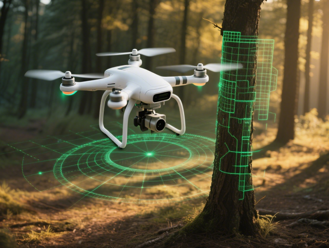
Unmanned aerial vehicles (UAVs), commonly known as drones, are increasingly indispensable in industries such as logistics, infrastructure inspection, forest monitoring, and disaster response. One of the most critical challenges they face is navigation in GPS-denied environments—places where satellite signals are blocked, degraded, or jammed.
Such environments are common:
-
Urban canyons: High-rise buildings block or reflect GPS signals, causing multipath errors.
-
Forests and mountains: Dense vegetation or complex terrain blocks signals.
-
Tunnels or indoor spaces: GPS signals cannot penetrate.
-
Adversarial conditions: Signals may be intentionally jammed or spoofed.
Relying solely on GPS in these scenarios can cause drones to drift, misinterpret their position, or crash. To address this, millimeter-wave (mmWave) radar provides a robust solution, enabling drones to navigate safely even without GPS.
Challenges of GPS-Denied Navigation
Traditional drone navigation relies on:
-
GNSS/GPS modules: Provide absolute position, but fail in obstructed areas.
-
Cameras/vision sensors: Sensitive to lighting, shadows, rain, dust, or smoke.
-
Inertial Measurement Units (IMUs): Useful for short-term positioning, but drift over time.
-
Ultrasonic sensors: Limited range, affected by environment and material interference.
These technologies alone cannot ensure safe flight in complex environments like tunnels, indoor facilities, or disaster zones. Drones need independent sensing methods to maintain safety.
Core Advantages of Millimeter-Wave Radar
Operating in the 30–300 GHz frequency range, mmWave radar provides high-resolution detection. Key benefits include:
-
Strong penetration: Works through fog, dust, and rain.
-
All-weather operation: Independent of light conditions.
-
Precise distance and velocity measurement: Detects dynamic obstacles in real time.
-
Compact and lightweight design: Suitable for UAV integration.
-
Environmental robustness: Not affected by reflections, shadows, or complex textures.
For example, the Linpowave V200 Radar Module offers 0.4–200 meters detection range and high angular precision, ideal for drones in complex environments.
Detailed Application Scenarios
1. Indoor and Underground Navigation
In warehouses, factories, or mines, GPS is unavailable. Radar enables drones to:
-
Detect shelves, machinery, and walls in real time.
-
Generate 3D point clouds for SLAM (Simultaneous Localization and Mapping) algorithms.
-
Avoid obstacles dynamically, reducing collision risk.
Case Study: In a logistics warehouse, radar-equipped drones performed inventory checks, navigating safely between shelves even in poorly lit areas.
2. Disaster Search and Rescue
In earthquake zones or collapsed buildings, smoke, dust, and debris block vision, and GPS may be weak. Radar-equipped drones can:
-
Penetrate smoke and debris to detect obstacles and free spaces.
-
Assist thermal or visual sensors in locating survivors.
-
Avoid falling objects and dynamic obstacles.
Case Study: In a mining accident, radar-guided UAVs navigated debris safely and located trapped miners.
3. Urban and High-Rise Navigation
Urban canyons reflect GPS signals, and vision-based navigation is affected by shadows. Radar can:
-
Detect building walls, bridges, and billboards.
-
Measure distances and velocities of obstacles in real time.
-
Integrate with IMU for stable positioning.
Case Study: A city delivery drone used radar and IMU navigation to complete precise package delivery without GPS.
4. Forest and Mountain Monitoring
Forests and mountains block vision sensors. Radar helps UAVs:
-
Detect trees, branches, and terrain.
-
Plan safe flight paths to avoid collisions.
-
Collect stable environmental data for mapping or inspection.
Sensor Fusion and Technical Implementation
While radar alone is effective, sensor fusion improves navigation reliability:
-
Radar + IMU: Corrects drift and maintains stable positioning.
-
Radar + Camera: Ensures obstacle avoidance in visually limited environments.
-
Radar + LiDAR: Enhances 3D mapping accuracy and provides redundancy.
Research from IEEE Xplore shows that Radar-SLAM enables real-time mapping and autonomous navigation in GPS-denied environments.
Industry Practices and Case Studies
-
Industrial Inspection: Drones inspect pipelines, tanks, and machinery, avoiding obstacles with radar.
-
Urban Logistics: Drones navigate high-rise cities safely when GPS fluctuates.
-
Search and Rescue & Security: Radar-equipped drones maintain safe flight and detect obstacles in disaster zones.
More examples are available at Linpowave Custom Radar Solutions.
Technical Advantages Summary
| Feature | Camera | LiDAR | Millimeter-Wave Radar |
|---|---|---|---|
| Low-visibility operation | ❌ | ⚠️ Limited | ✅ |
| Velocity measurement | ❌ | ❌ | ✅ |
| Long & short-range detection | ⚠️ | ✅ | ✅ |
| Environmental robustness | ❌ | ⚠️ Dust/Fog | ✅ |
| Size & weight | ⚠️ | ❌ | ⚠️ Moderate |
Radar overcomes vision and LiDAR limitations in GPS-denied navigation.
Conclusion
Safe UAV flight in GPS-denied environments is critical for modern operations. Millimeter-wave radar provides:
-
All-weather navigation
-
Precise distance and velocity sensing
-
Independent operation from GPS
When integrated with SLAM and sensor fusion, drones achieve reliable positioning and dynamic obstacle avoidance. Using the Linpowave V200 Radar Module, drones can safely navigate urban canyons, tunnels, forests, and other GPS-denied environments, unlocking new capabilities in logistics, inspection, search and rescue, and industrial applications.


