






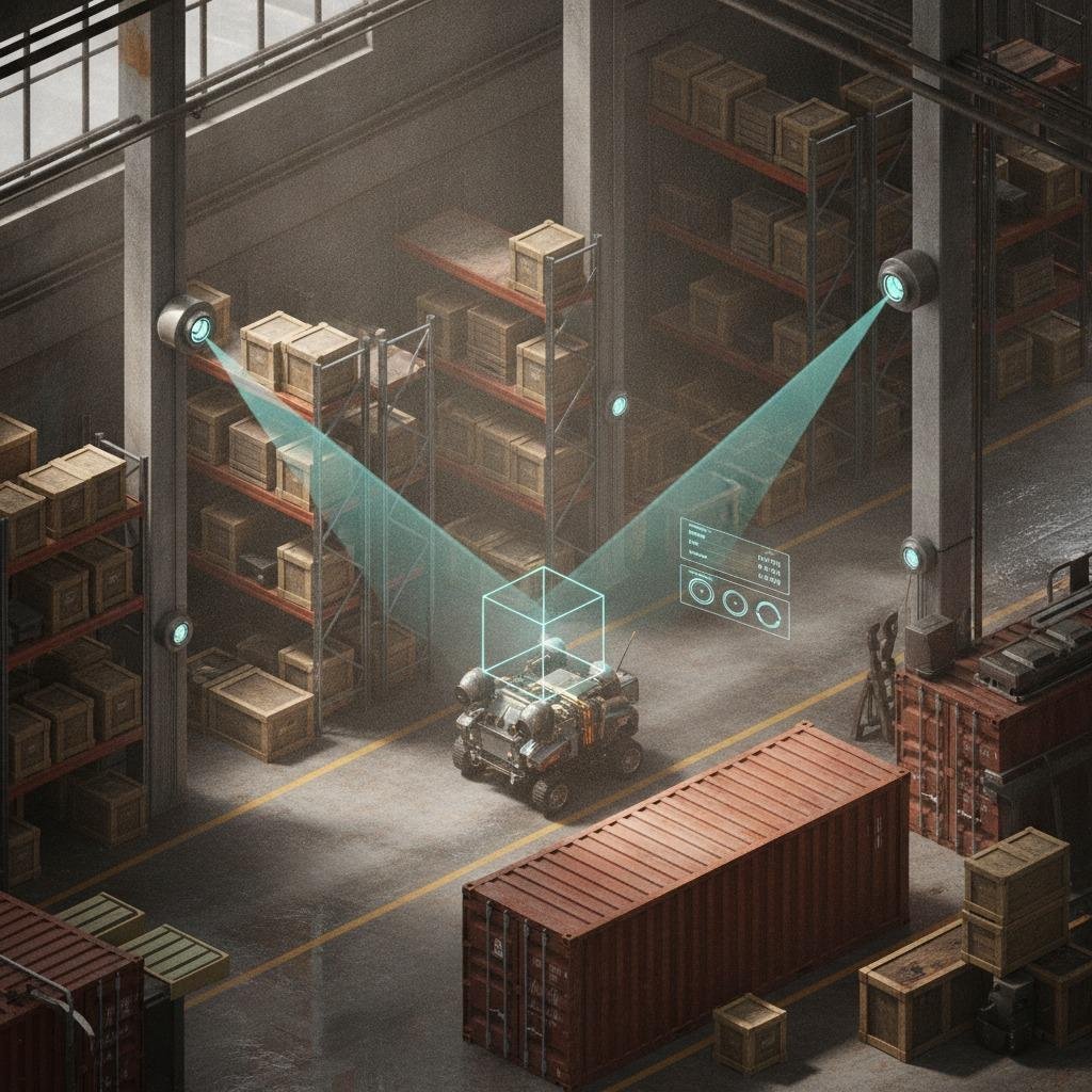
Why reference point positioning matters when GPS is not enough
Reference point positioning is getting more attention because many real-world environments are still unfriendly to satellite navigation. Warehouses with high metal shelving, ports with stacked containers, underground facilities, industrial yards, and indoor production lines all create the same basic problem: the system knows roughly where it is, but not well enough to trust for automation, safety, or repeatable inspection. For engineers and sourcing teams, that gap is not academic. It affects collision avoidance, asset tracking, autonomous movement, and how confidently a machine can return to the same physical location day after day.
That is where radar-based odometry and related sensing approaches come into the discussion. Rather than relying only on external signals, they estimate movement from what the platform senses locally and compare it to known points or features. In practice, this can support precise positioning via radar in places where cameras struggle with dust, darkness, glare, or low texture. The buying decision is not just about sensor specs. It is about whether the positioning stack can survive the environment and still deliver usable data to the control system.
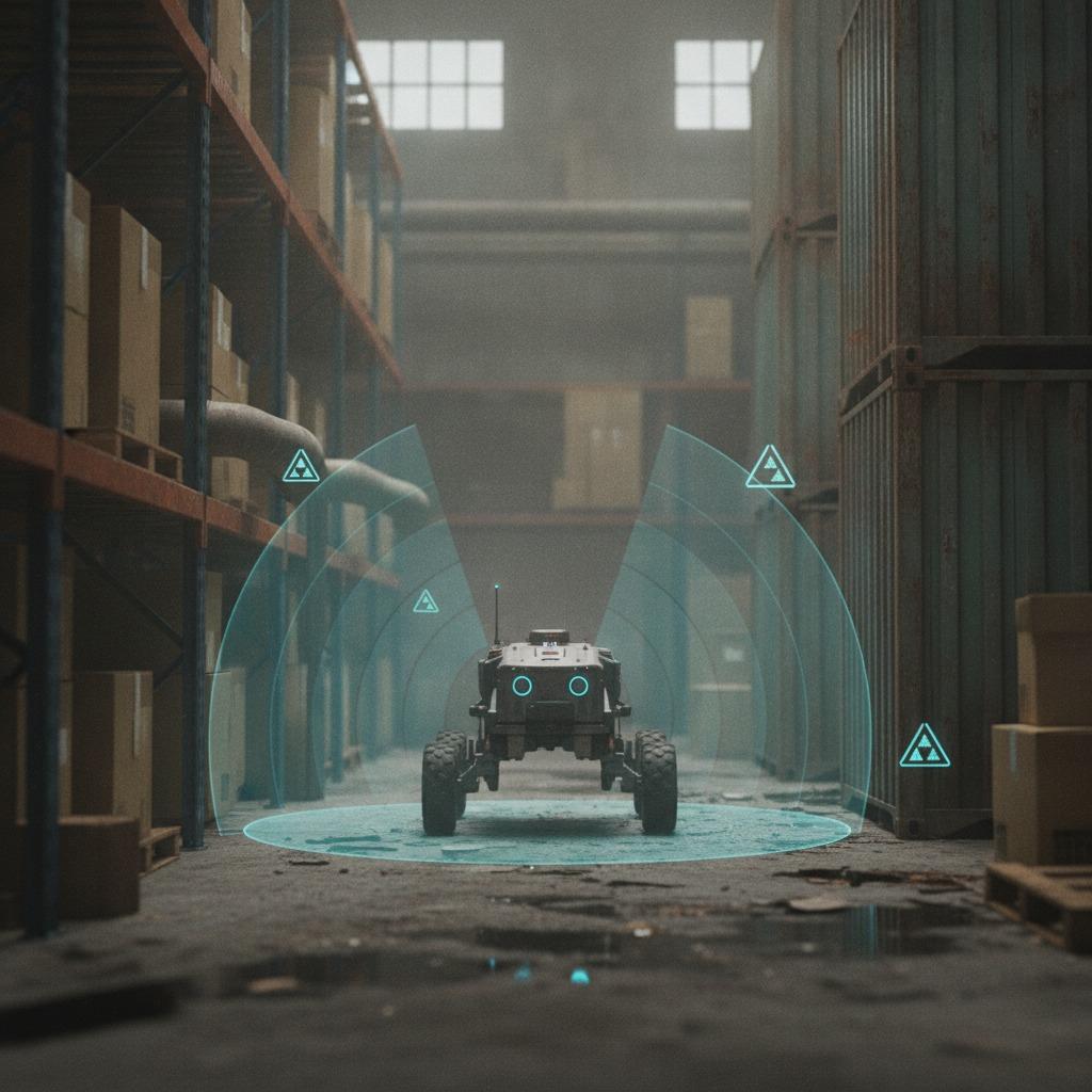
What reference point positioning is trying to solve
At its core, the method uses a known point, landmark, or mapped feature as a spatial anchor. The platform then determines its relation to that anchor and updates its position as it moves. This can be done in different ways depending on the application, but the common goal is stable localization when external references are weak or unavailable.
For industrial users, the value is straightforward. If a mobile robot must dock at a station, if a crane must align with a pickup point, or if a survey platform must repeat a route, small position errors accumulate quickly. The result can be missed stops, process drift, or unnecessary operator intervention. In some systems, even a few centimeters of uncertainty changes whether the whole automation project is viable.
Radar-based approaches: where they fit and why teams consider them
Radar-based odometry is attractive because radar behaves differently from optical systems. It can detect motion and surrounding structures through conditions that usually degrade vision-based tools. That makes it useful in dusty plants, low-light areas, and outdoor sites where weather is variable. It is not magic, though. Radar data often needs careful filtering, mapping, and sensor fusion to produce stable outputs.
One practical advantage is that radar can support attitude estimation alongside position, especially when paired with inertial sensing or other reference data. For mobile platforms, that matters because orientation errors can be as disruptive as linear drift. A vehicle that knows roughly where it is but not how it is angled may still fail to align with a charger, pallet, or inspection target.
Quick buyer comparison
Best fit: environments with poor visibility, reflective surfaces, or frequent dust and motion.
Watch out for: multipath reflections, cluttered scenes, and integration effort with downstream controls.
Often needed: sensor fusion, calibration routines, and software support for 6-DoF (degrees of freedom) localization.
How 6-DoF localization changes the conversation
Many teams start by asking for position only, then discover that the machine also needs roll, pitch, and yaw to be meaningful. That is why 6-DoF (degrees of freedom) localization appears so often in advanced robotics and automation. If the platform must move in three-dimensional space, or even operate on uneven ground, the software needs a fuller model than x-y location alone.
This is also where the technical conversation gets more realistic. A simple map coordinate might be enough for inventory movement. A manipulator, inspection drone, or autonomous vehicle often needs much more. Buyers should ask whether the system provides repeatable pose estimates, how it handles drift over time, and what happens when the reference point is partially obscured or temporarily unavailable.
Selection criteria that matter more than glossy specs
Engineers should not stop at range or resolution figures. Those numbers matter, but they do not answer the real questions. How does the system behave in clutter? Can it recover after a brief loss of reference? What preprocessing or calibration is required? Is the positioning output compatible with the rest of the machine stack? A sensor that looks impressive in a lab demo may become frustrating in a live production line.
It is also worth asking whether the vendor explains the boundaries of performance clearly. Good suppliers tend to be specific about operating assumptions. That is a useful sign. Overconfident claims about perfect tracking in every environment usually deserve a second look.
Common mistakes buyers make
One common mistake is treating reference point positioning as a single product category rather than a system-level function. In reality, performance depends on the sensor, the environment, the mapping method, and the control software working together. Another mistake is underestimating installation and maintenance. Mounting geometry, vibration, and nearby structures can all affect results.
A second trap is choosing for the best-case demo instead of the worst-case shift. Industrial environments are messy. Forklifts move. Surfaces change. Lighting changes. Even a strong radar-based odometry setup can become less reliable if the operating conditions are more dynamic than the test area.
Practical advice for sourcing and engineering teams
If you are comparing systems, ask for the full application context, not just the sensor brochure. Request information about environment type, reference density, motion profile, and whether attitude estimation is native or inferred through another subsystem. If the application needs precise positioning via radar, clarify what level of repeatability is realistic and what support is offered for integration and tuning.
For product teams, the best decision is usually the one that reduces field uncertainty. A slightly less ambitious specification that works consistently may be far more valuable than a high-performance claim that depends on ideal conditions. That tradeoff is easy to miss during early project meetings and hard to fix after deployment.
FAQ: fast answers for project teams
Is reference point positioning only for robots?
No. It is used in robotics, surveying, industrial automation, guided vehicles, and other systems that need location tied to a known spatial anchor.
Why consider radar instead of cameras?
Radar can be more resilient in darkness, dust, glare, and some reflective industrial settings. Cameras still have advantages, but they are not always the safest choice in harsh environments.
What should I ask a supplier first?
Ask how the system performs in your exact environment, what calibration is required, and whether it supports the level of localization and orientation data your machine actually needs.
What to do next
If your project depends on reliable movement or repeatable alignment in a difficult environment, start by defining the reference conditions before you compare products. Map the site, list the failure modes, and decide whether the real need is position, attitude, or full 6-DoF localization. That simple step usually makes the sourcing process clearer and saves time later when the system moves from test bench to floor.