


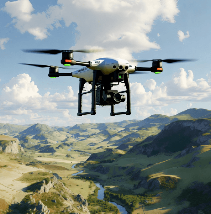
As UAV mapping enters the era of high-resolution 3D reconstruction, applications such as mine-slope monitoring, forest resource surveys, urban planning, and disaster response demand higher accuracy and completeness in terrain data. Dense vegetation, complex terrain undulations, and harsh weather have long created persistent blind zones for traditional mapping methods.
By fusing millimeter-wave (mmWave) radar with LiDAR—two highly complementary sensing modalities—UAVs can achieve all-weather, all-terrain, and zero-blind-spot 3D mapping. This significantly improves data completeness and reliability, accelerates engineering adoption of UAV mapping radar and ground obstacle sensing drone systems, and supports environmental monitoring and disaster management aligned with global sustainability objectives.
This article systematically explains the value and implementation pathway of this fusion solution—from fundamental principles to fusion benefits, application examples, and deployment guidelines.
1. Technical Foundations: Why mmWave Radar + LiDAR Is the Ideal Combination
Advantages of Millimeter-Wave Radar
-
Penetration and Interference Resistance
mmWave radar offers strong penetration through vegetation, rain, fog, and dust—making it a critical supplement in areas where optical sensors or LiDAR struggle. Studies confirm mmWave radar’s robustness in adverse environments. -
Lightweight, Low Power, Highly Integrable
Compared with large, power-hungry LiDAR systems, mmWave radar modules are compact and lightweight—ideal for UAVs needing long endurance or frequent deployment. -
Adds Redundancy and Robustness
In dense vegetation, low-visibility, or complex terrain, LiDAR may miss critical details. mmWave radar provides an additional sensing dimension for compensation and verification. Recent work explores enhancing sparse mmWave point clouds via machine learning.
Core Value of LiDAR
-
High-Precision, High-Resolution 3D Point Clouds
UAV-LiDAR systems generate dense and highly accurate point clouds for creating DEM, DSM, CHM, and other terrain models—widely used in geomatics, geology, and forestry. -
Mature Technology and Robust Supply Chain
LiDAR solutions for mapping are well-developed, with strong commercial adoption and a continuously expanding market. -
High-Fidelity Structural Representation
LiDAR captures fine structural details—tree trunks, terrain texture, building morphology—making it indispensable for scientific and engineering tasks.
2. Fusion Advantages: Complementarity, Redundancy, Precision, and Coverage
Integrating mmWave radar and LiDAR delivers benefits across multiple dimensions.
Complementary Performance and Multi-Modal Data Fusion
-
Zero-Blind-Zone Coverage and Fine Detail Reconstruction
mmWave radar penetrates obstructions and fills in occluded regions, while LiDAR offers high-resolution geometric reconstruction. -
Improved Robustness and Redundancy
When LiDAR is affected by weather, vegetation, or lighting, mmWave radar maintains stable detection. -
Deep Learning-Enabled Multi-Modal Fusion
Feature-level fusion of LiDAR, mmWave radar, and imagery significantly improves detection and reconstruction in occluded environments.
For example, LRVFNet achieved superior 2D/3D detection in urban occlusion scenarios.
Broad Application Scenarios
Fusion sensing is effective in challenging environments such as:
-
Dense forests or heavily vegetated areas
-
Mines, cliffs, deserts, extreme-weather areas
-
Urban canyons, night-time missions, foggy or dusty conditions
It is also applicable to long-term monitoring, disaster assessment, infrastructure inspection, and ecological studies.
Future Trends and Research Progress
-
Point Cloud Super-Resolution
Diffusion-model-based methods can densify sparse mmWave point clouds toward LiDAR-like density. -
Multi-Source, Multi-Temporal Fusion
Combining LiDAR, SAR/radar, optical, multispectral, hyperspectral imagery with AI enables higher accuracy in complex environments. -
From One-Time Mapping to Automated, Continuous Monitoring
UAV hardware, GPU-accelerated data processing, and intelligent fusion pipelines support frequent and dynamic mapping applications.
3. Application Cases and Research Support
-
Fusing airborne LiDAR with radar/SAR and optical data via attention-based deep learning enhances reconstruction quality in vegetated landscapes.
-
mmWave radar super-resolution research shows using LiDAR as supervision improves radar point cloud density.
-
UAV-LiDAR is widely used in forestry, biomass estimation, river and wetland mapping, and biodiversity monitoring.
Global UAV-LiDAR market forecasts predict strong double-digit CAGR (~12.1%) through 2029.
4. Deployment Guide: Building a Practical Fusion Mapping System
Hardware Selection and Integration
-
Lightweight, low-power mmWave radar modules (e.g., 77 GHz) suitable for UAV integration.
-
LiDAR: at least 16-channel for sufficient point cloud density.
-
High-precision IMU + RTK GPS for synchronization (timestamp drift <10 ms; centimeter-level spatial alignment).
Fusion Strategies and Data Processing Pipeline
-
Synchronized acquisition of mmWave, LiDAR, and optional optical/SAR data.
-
Multi-modal fusion algorithms and AI-based densification for high-fidelity 3D reconstruction.
-
Scan strategies tailored to terrain: rapid LiDAR scanning for open areas, low-altitude multi-angle fusion scanning for dense/occluded zones.
System-Level Automation and Workflows
-
GPU-accelerated AI pipelines for end-to-end 3D model generation.
-
Multi-epoch monitoring to capture seasonal and environmental changes.
-
Ensure compliance with UAV weight and flight regulations (FAA/EASA) and establish standard operating procedures and quality control mechanisms.
5. Conclusion: Toward the Panoramic Era of UAV Mapping
mmWave radar + LiDAR fusion enables all-weather, all-terrain, and zero-blind-spot 3D mapping. It solves traditional challenges such as vegetation occlusion, complex terrain, and harsh weather, supporting critical applications like mine safety, forestry surveys, disaster response, environmental monitoring, and infrastructure management.
With lighter hardware, smarter algorithms, and automated data processing, this fusion system is becoming mainstream. For organizations requiring high-precision, complete, and reliable geospatial data, it offers a strategic path for long-term investment.