


Why 3D Occupancy Mapping Has Become a Practical Drone Autonomy Tool
3D occupancy mapping is no longer just a research phrase for robotics teams; it is becoming a practical way to help drones understand cluttered space, avoid collisions, and keep moving when the environment changes faster than a preplanned route can handle. For engineers and product teams, the real question is not whether a drone can build a map, but whether that map is good enough to support safer decisions in the air, with limited payload, limited compute, and no room for guesswork.
That is the problem this technology is trying to solve. A drone flying indoors, under a canopy, near industrial equipment, or through partially known terrain needs a representation of space that is more useful than a flat 2D outline. It needs depth, volume, and some ability to reason about what is occupied, what is free, and what is uncertain. When that information is available in time, planners can support reactive navigation, generate a safer flight corridor, and replan locally instead of freezing up at the first unexpected obstacle.
What the Map Actually Tells the Flight System
At its simplest, 3D occupancy mapping divides space into small volumes and marks each one as likely free, occupied, or unknown. That sounds straightforward, but the value lies in how the flight stack uses that data. A clean map is not just a visualization for operators. It feeds obstacle checks, route evaluation, and local path replanning when conditions change mid-flight.
In practice, the map must be updated quickly enough to reflect moving objects, swaying branches, stacked pallets, racks, pipes, or temporary barriers. If the update cycle lags too much, the drone may plan against a scene that is already obsolete. If the map is too coarse, narrow gaps may disappear. If it is too fine, the compute load can become awkward for a lightweight platform. That trade-off is one of the first things buyers should examine, because it affects both safety margin and mission range.
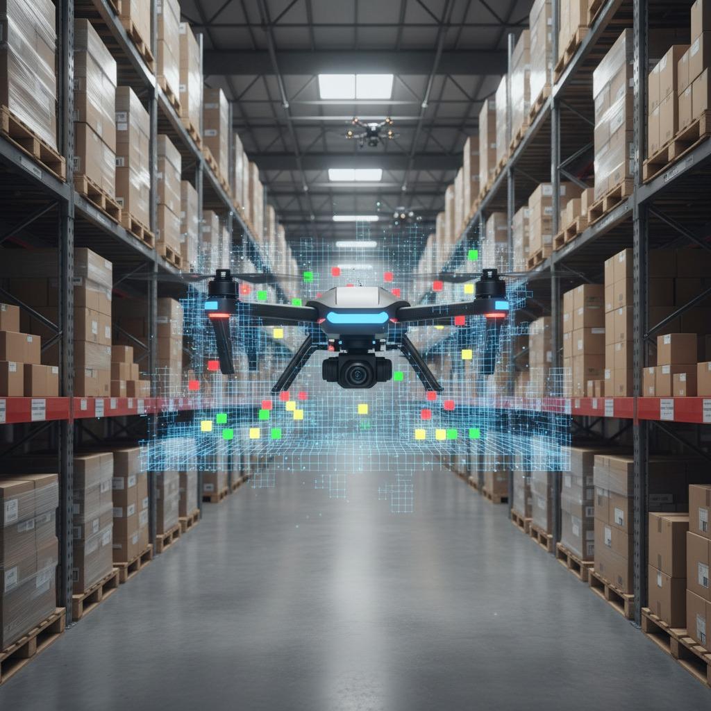
Where 3D Occupancy Mapping Fits Best
This approach is especially useful in environments where line of sight is short or the flight path changes frequently. Typical cases include warehouse aisles, plant inspection routes, forested corridors, underground or semi-enclosed areas, and indoor navigation around people and equipment. It is also helpful when the drone cannot rely on GNSS alone and must make decisions from onboard sensing.
For these missions, real-time obstacle avoidance is often less about dramatic maneuvers and more about consistency. The system needs to slow, sidestep, climb, or hold position without oscillating or taking overly cautious detours. A good autonomy stack should be able to use the occupancy data to preserve a workable route, not simply avoid danger in the abstract.
Quick Buyer Takeaways
1. Map quality matters more than map size
A large map that updates slowly is often less useful than a smaller one that stays current.
2. Latency can make or break the result
The best sensing hardware still fails if the onboard processing pipeline cannot keep up with motion and change.
3. Corridor generation needs margin
Safe flight corridor generation should leave practical clearance, not just mathematically valid clearance. Real environments have sensor noise, prop wash effects, and moving obstacles.
4. Replanning should be local and controlled
Local path replanning is useful when the drone needs to adjust around one new obstacle without discarding the entire mission plan.
Common Design Choices and Their Trade-Offs
Not every implementation of 3D occupancy mapping is built the same way. Some systems prioritize speed and memory efficiency. Others focus on richer spatial detail. The right choice depends on the mission profile.
A conservative industrial buyer should ask a few practical questions: How much compute does the mapping stack consume? How often is the occupancy grid refreshed? How does it handle uncertainty in sparse sensor data? Can it continue operating when lighting changes, dust appears, or reflective surfaces confuse depth sensing? These details often matter more than broad claims of autonomy.
Another point worth watching is how the map interacts with the controller. A sophisticated map is useful only if the planning layer can turn it into action. That means the drone must be able to translate spatial information into reactive navigation behavior that feels smooth enough for the airframe and stable enough for the mission.
Frequent Mistakes Buyers Make
One common mistake is assuming that 3D mapping automatically means safe flight. It does not. The system still depends on sensor placement, calibration, update rate, and a control strategy that can respond sensibly to uncertainty.
Another mistake is underestimating the difference between detecting an obstacle and passing around it. Real-time obstacle avoidance is a motion problem as much as a perception problem. A drone may see a hazard clearly and still fail if the planner chooses an awkward trajectory or if the vehicle cannot brake and turn within the available space.
It is also easy to over-specify the map and under-specify the mission. Some users ask for dense environmental detail when what they really need is robust corridor planning through a few known hazard zones. Others want fast replanning but choose hardware that cannot process the data stream fast enough. That mismatch is expensive and usually avoidable.
What Good Procurement Questions Sound Like
If you are sourcing a drone autonomy solution, ask how the system handles partial knowledge, dynamic obstacles, and low-clearance environments. Ask what sensor assumptions it makes, and whether those assumptions hold in your site conditions. Ask how the stack behaves when the map contains uncertainty rather than crisp geometry, because that is the usual real-world state.
For teams comparing platforms, the better decision is often not “Which system has the most advanced mapping?” but “Which system produces the most dependable flight decisions for our environment?” That distinction is easy to miss during demos.
FAQ: A Few Questions That Come Up Early
Is 3D occupancy mapping only for autonomous drones?
No. It is also useful in assisted flight and operator-supervised missions where the drone still needs onboard awareness.
Does it replace human planning?
Usually not. It reduces the burden on human operators and helps the aircraft respond in real time, but mission rules and oversight still matter.
Will it solve every obstacle problem?
No system does. The best results come when sensing, mapping, planning, and control are designed together.
Practical Next Step
If you are evaluating 3D occupancy mapping for a drone program, start with the mission environment, not the software brochure. Define the obstacles, the available clearance, the required response time, and the kind of replanning you expect in the field. Then test whether the autonomy stack can support safe flight corridor generation and local path replanning under those conditions, not just in a clean demo room. That is usually where the real difference shows up.