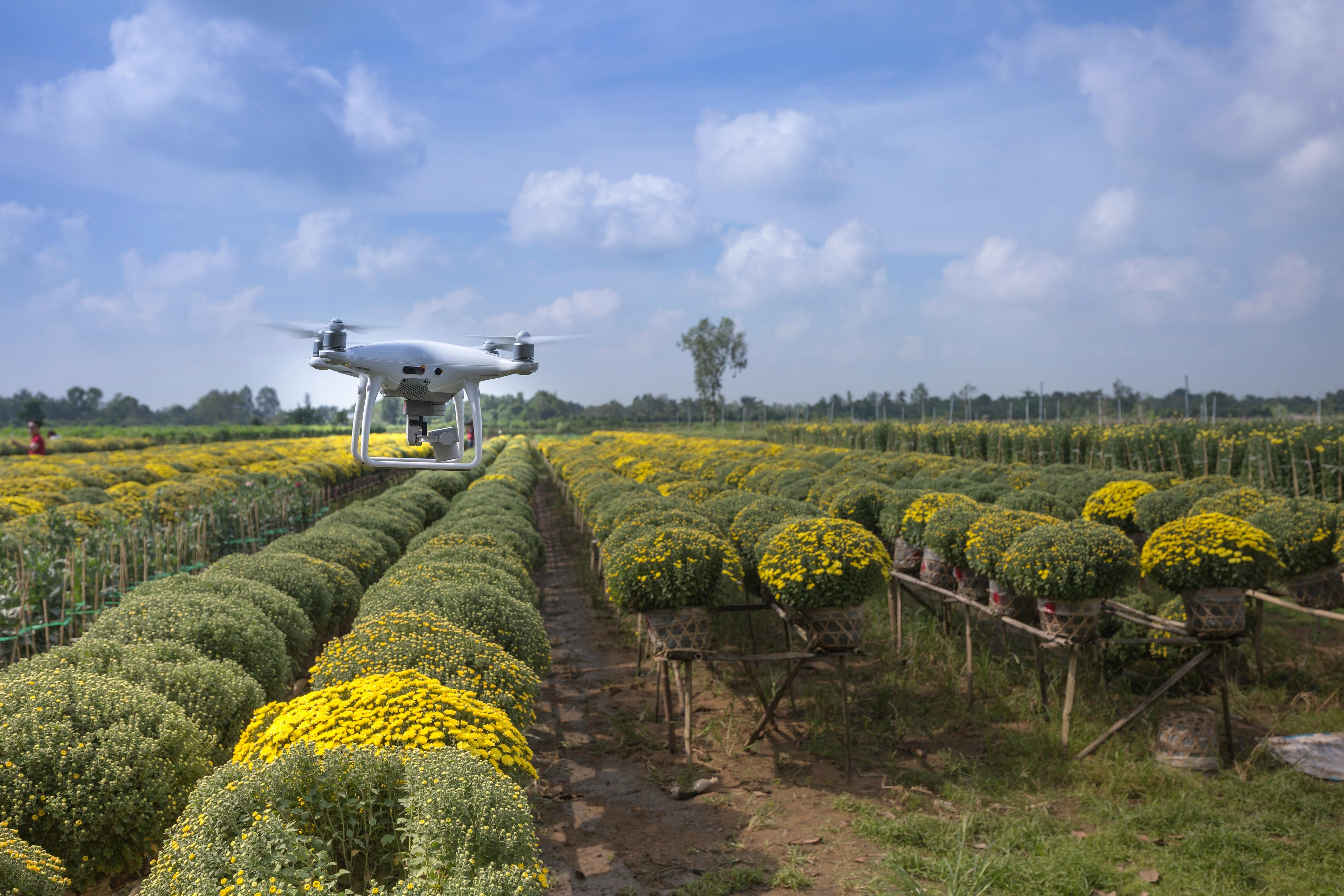
Obstacle avoidance is a missing link in the safe deployment of agricultural drones
along withAgricultural dronesBecome the pillar of smart agriculture - fromPesticide sprayarriveYield analysis——It is crucial to ensure that they operate safely in chaotic low-altitude airspace. Trees, irrigation pipelines, field boundaries and wires all pose serious risks, especially when drones fly autonomously. Linpowa byRadar-based obstacle avoidance systemThis problem is solved to provide consistent detection under various terrain and weather conditions.
Why is it not enough to rely on visual sensors on the farm
The agricultural environment often poses a challenge to traditional sensors. The visual camera isDust, foggy or rainy days, etc.Poor performance under harsh conditions. Lidar will be affectedBlade reflectivity, while ultrasonic sensors have poor resolution in open fields.
Linpowave'sMillimeter wave radarAim to overcome these problems. Whether you are driving at duskDrone sprays cropsOr shuttle between dense rows of apple trees, radar can provide real-time feedback on nearby obstacles, and can even detect what other technologies often miss.Thin lines or treetop edges.
Core functions designed specifically for agricultural purposes
Linpowave'sDrone radar obstacle avoidance moduleDesigned for real-world agricultural conditions:
-
All-weather performance: Can work in fog, rain, dust and dark environments
-
3D Obstacle Detection: Accurately identify terrain, crops and buildings
-
Long-range radar (up to 100 meters)For early warning
-
Compact and lightweight design, perfect for small drone payloads
-
Supports terrain tracking and site boundary awareness
-
easyIntegrate with flight controllers and autonomous driving systems
These features ensureLow-altitude flight safety, while maintaining task autonomy.
Farm use cases
Farmers and drone operators rely on obstacle avoidance radars to:
-
Crop canopy, trellis or near water towerDrone collision detection
-
Uneven or on terraced fieldsAccurate spraying drone height control
-
In an emergencySafe and autonomous return to the base
-
Irregular shape areasPrecise edge mapping
-
Night or early morningSpray when visibility is poor
With the integrated Linpowave radar, even without GPS or visual cues,Field mapping droneorIndependent agricultural droneIt can also operate highly reliably.
Why radar is the right tool for precision agriculture
Unlike camera-based systems, radarNot affected by lighting conditionsand available at multiple heightsInstant feedback. It can help drones make smart decisions, e.g.Fertilization,Pest detectionOr moreField mission planning.
CombinedDrone radar altimeterandIMU,Linpowave system can fully sense terrain and object distance, which is for the next generationDrone-assisted agricultureIt is crucial.
Smart agriculture starts here
Linpowave's radar module has been leadingAgricultural drone manufacturerUsed for crop spraying,Orchard canopy monitoringandMulti-rotor flight safety. With scalable integration and powerful detection capabilities, our technology makes drones safer, smarter and more efficient in complex farm environments.
To learn more about Linpowave’s smart agricultural radar system, visit ourHome pageorContact UsConduct solution consultation and sample requests.


