


When a drone team needs to behave like one instrument
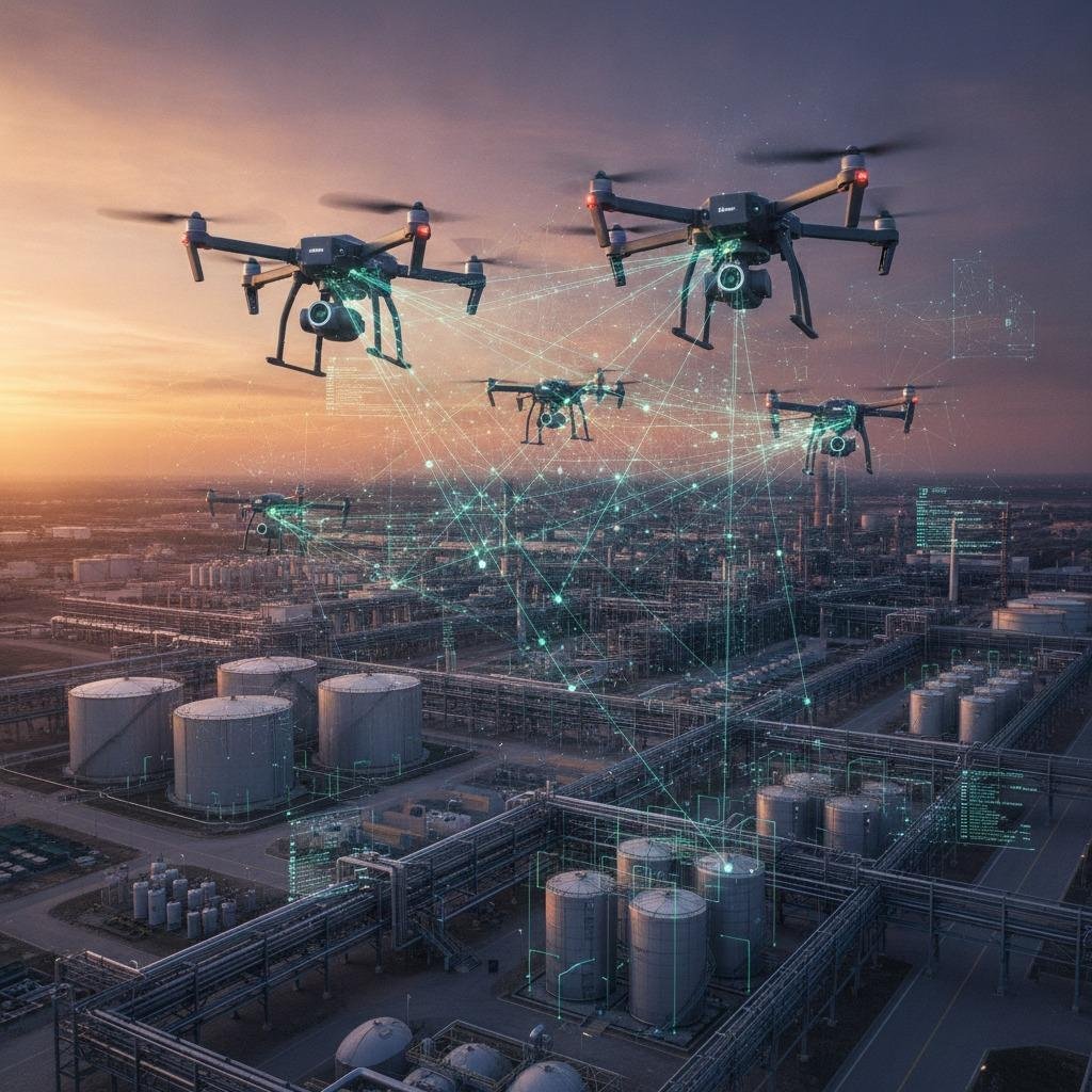
A distributed sensing network is often the difference between a drone fleet that merely flies together and a fleet that can actually act together. For engineers building multi-UAV systems, the challenge is not just putting several airframes in the sky; it is making sure each drone can share what it sees, where it is, and what it believes is happening around it. That matters in inspection, search missions, defense applications, and any operation where one vehicle’s blind spot becomes the whole system’s weakness.
The practical problem is straightforward. Individual drones can carry cameras, radars, lidar, or inertial sensors, but a single platform still has limits in range, angle, endurance, and situational awareness. Once multiple drones enter the picture, the real task becomes cooperative decision-making. That is where collaborative perception, inter-drone ranging, and swarm coordination start to matter as design requirements rather than buzzwords.
What a distributed sensing network is solving
In a multi-drone environment, the mission can fail for reasons that are not dramatic on paper. One aircraft loses line of sight. Another drifts out of formation. Sensor data arrives too late to be useful. Radio links get crowded. GPS alone is not enough in cluttered or contested spaces. A distributed sensing network helps reduce those risks by spreading sensing and decision inputs across the fleet instead of relying on a single point of truth.
That distributed architecture gives teams a few advantages:
- Redundancy when one unit degrades or drops out
- Better spatial coverage than a lone vehicle can provide
- Faster reaction when drones exchange position and target cues
- Improved formation flying support for coordinated movement
It is worth noting that the system only works as well as its timing and synchronization. A fleet can have excellent sensors and still perform poorly if the data path is noisy or the control loop is too slow. Buyers sometimes focus on sensor resolution and ignore the network behavior that makes the data actionable. That is a common mistake.
Key functions buyers should evaluate
Collaborative perception
This is the ability of multiple drones to combine their observations into a more complete picture. One drone sees the front side of a structure, another sees the roofline, and a third covers a blind corner. In practice, collaborative perception can help operators detect obstacles, track moving objects, or map an area with fewer gaps. The value is not only better data; it is better confidence in the data.
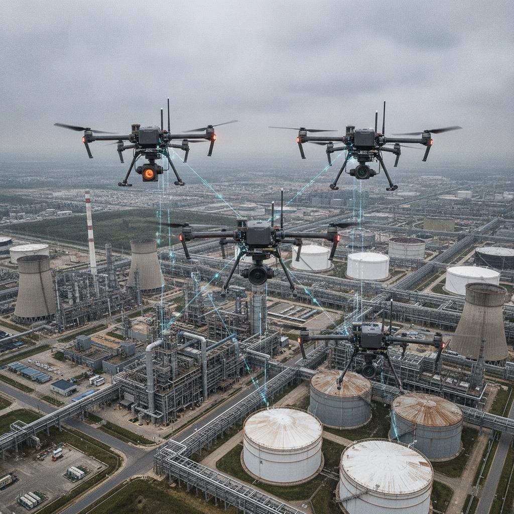
Inter-drone ranging
If the vehicles cannot estimate separation accurately, formation work becomes fragile. Inter-drone ranging supports relative positioning when GPS is weak, denied, or simply not precise enough for the task. In dense environments, ranging also helps maintain safe spacing and avoid midair interference. Engineers should ask how the ranging method behaves with multipath, occlusion, and changing angles. Those conditions are where real systems earn their keep.
Swarm coordination
Swarm coordination usually sounds more advanced than it is. At the basic level, it means the group can distribute tasks, maintain order, and adjust when one drone changes speed or path. Strong coordination does not require every vehicle to know everything. It requires the right information to reach the right unit fast enough to matter.
Selection criteria that matter in the field
A good distributed sensing network is not just a communications layer with a fancy name. It should be judged against the mission environment.
- Latency: Can the system support near-real-time control?
- Reliability: What happens when links degrade or nodes leave the network?
- Scalability: Will performance hold as the fleet grows?
- Sensor fusion approach: Does the platform combine data cleanly, or just forward raw streams?
- Environmental robustness: Can the network perform around structures, terrain, or interference?
For sourcing managers, the useful question is not “Does it support multi-drone operations?” but “What kind of multi-drone operation?” A short-range indoor inspection swarm has different needs than a dispersed outdoor mapping fleet. Formation flying support, for example, places a premium on timing and relative state estimation, while longer-range missions may care more about coverage and fault tolerance.
Common mistakes in procurement and integration
One frequent error is overbuying sensor capability and underbuying network discipline. Another is assuming that a system demonstrated in a controlled environment will behave the same way in an industrial site, forest, harbor, or urban canyon. Multi-drone systems are sensitive to layout, interference, and motion dynamics. A polished demo can hide those issues.
Teams also sometimes specify the aircraft first and the sensing network second. In reality, the network architecture should influence vehicle selection, autonomy stack, payload allocation, and even mission planning. If the communication model cannot keep up, the platform design becomes an expensive compromise.
Practical advice for engineering and sourcing teams
Before committing to a platform, ask for evidence of how the distributed sensing network handles sensor fusion, link loss, and formation changes. Request system behavior under stress, not just the nominal case. If the supplier can describe how the architecture supports collaborative perception and inter-drone ranging without hand-waving, that is a good sign.
For teams comparing options, it helps to separate three layers: sensing hardware, network behavior, and mission software. Strong hardware does not automatically produce strong swarm coordination. Conversely, elegant software cannot fix poor time alignment or unstable links. The system should be treated as a chain, because that is what it is.
What this decision helps you avoid
Choosing the wrong architecture can leave a fleet technically airborne but operationally blind. The aim is not simply to connect drones. It is to make their observations useful together, at the right moment, in the right format, for the right control action. That is the real value of a distributed sensing network.
If your team is planning a multi-UAV program, the next step is usually a requirements review that starts with mission geometry, sensing range, and failure modes. From there, it becomes much easier to decide which distributed functions are essential and which are just nice to have.