


Emerging Trends in Drone Radar Altimeter Technology
The drone radar altimeter is revolutionizing aerial navigation by providing accurate height data essential for safe and efficient drone operations. As drones integrate deeper into industries like agriculture, delivery, and surveying, this technology stands out for its reliability in diverse environments. Current trends show a surge in demand for robust altitude measurement solutions, driven by regulatory pushes for enhanced safety and autonomy. In 2023, the global drone market expanded by over 15%, with radar-based systems gaining traction due to their immunity to weather conditions that plague optical sensors.
Advancements in Radar Altimeter for Drones
Focusing on radar altimeters for drones, manufacturers are prioritizing compact, low-power designs that fit seamlessly into smaller UAVs. Drone altitude measurement has evolved from basic ultrasonic methods to sophisticated radar systems, offering precision up to centimeters even at high speeds. A key trend is the adoption of aerial drone radar systems, which use millimeter-wave frequencies for better resolution and reduced interference. This shift addresses challenges in urban environments where multipath signals can distort readings. Industry reports indicate that by 2025, over 60% of commercial drones will incorporate radar altimeters, up from 30% last year, highlighting a clear move toward more resilient flight controls.
Precision Altimetry in Drones: mmWave Innovations
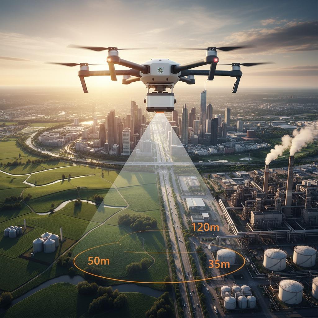
Precision altimetry in drones is at the forefront of this technological wave, enabled by mmWave radar that operates in the 24 GHz to 77 GHz bands for superior accuracy. Unlike laser altimeters, which struggle in fog or dust, mmWave radar penetrates such obstacles, making it ideal for all-weather operations. Trends point to integration with AI algorithms that process radar data in real-time, allowing drones to adjust altitudes dynamically during missions. Companies specializing in linpowave mmWave manufacture are leading this charge, producing sensors that weigh under 50 grams yet deliver sub-meter accuracy up to 100 meters. This not only boosts operational efficiency but also reduces crash risks, aligning with FAA guidelines for beyond-visual-line-of-sight flights.
Market Drivers and Future Outlook
The rise of mmWave radar in drone ecosystems is fueled by applications in precision agriculture, where accurate height data optimizes crop spraying, and in search-and-rescue, where reliable aerial drone radar systems ensure navigation in rugged terrains. Drone altitude measurement trends are also influenced by miniaturization efforts, making radar altimeters for drones more accessible to hobbyists and enterprises alike. Looking ahead, experts predict a hybrid approach combining radar with GPS for foolproof redundancy. Precision altimetry in drones will likely see cost reductions through scalable linpowave mmwave manufacture techniques, potentially dropping prices by 40% in the next two years. As regulatory bodies mandate advanced sensors, the drone radar altimeter market is poised for exponential growth, transforming how we leverage drones for innovation across sectors.