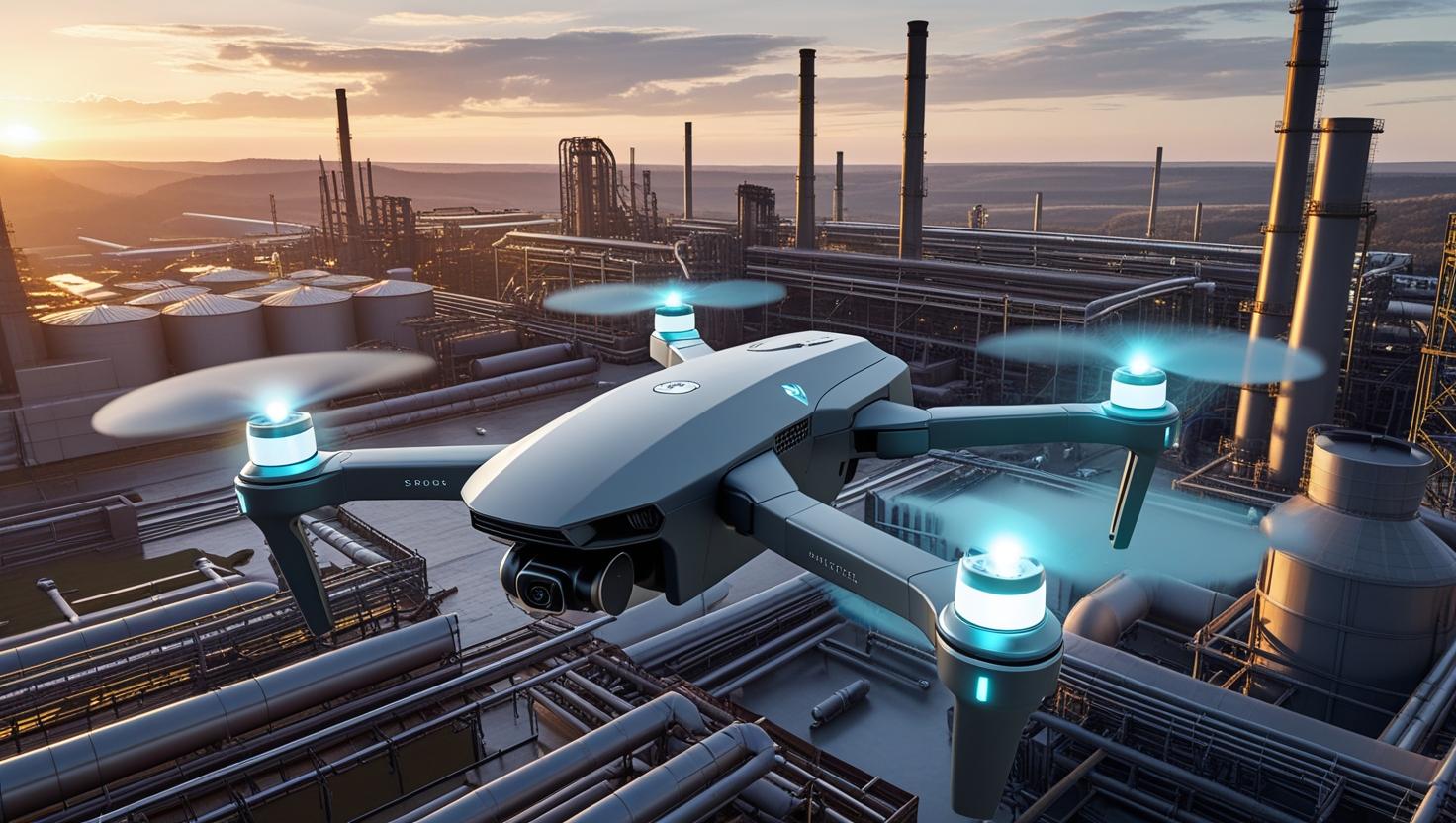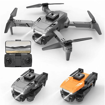
How Radar-Enhanced Smart Drones Are Transforming Aerial Operations
Smart drones equipped with mmWave radar are revolutionizing how businesses conduct real-time mapping, autonomous navigation, and low-visibility missions. By fusing advanced perception technology with autonomous decision-making, modern UAVs go far beyond aerial photography — they now serve critical roles in urban inspections, agriculture, energy infrastructure, and emergency response.
Precision Mapping with Real-Time Point Clouds
Traditional drones often rely on optical sensors, which can struggle with lighting or environmental interference. mmWave radar solves this by emitting high-frequency radio waves that penetrate fog, rain, dust, and even partial obstructions. When integrated into UAVs, these radars allow for real-time point cloud mapping, capturing accurate 3D spatial data regardless of visibility conditions.
This technology is particularly useful for topographic surveys, construction planning, and disaster area assessment — delivering centimeter-level accuracy with minimal delay. Combined with GNSS and IMU systems, these UAVs generate consistent data even in GPS-denied environments.
Automatic Flight Path Adjustment in Complex Environments
One of the biggest risks in drone operations is obstacle collision — especially in cluttered or unpredictable environments. Drone obstacle avoidance radar with automatic flight path adjustment enables drones to actively detect objects (like trees, poles, buildings, or wires) and reroute their paths without human intervention.
Unlike vision-based systems that rely on image recognition, mmWave radar maintains robust performance in low light or harsh weather. This is critical for missions like bridge inspection, powerline monitoring, or forest mapping, where terrain and surroundings are both dense and dynamic.
Adaptive Capabilities of Smart Drones in Diverse Use Cases
Smart drones today integrate radar, AI processors, and edge computing modules to interpret their surroundings and make instant navigational decisions. These drones adapt to a wide range of commercial and industrial applications, including:
-
Urban infrastructure inspections (buildings, rail lines, rooftops)
-
Precision agriculture (canopy analysis, irrigation planning)
-
Emergency search-and-rescue (autonomous terrain navigation)
-
Pipeline and power grid monitoring (day or night)
Such smart UAV systems not only improve data accuracy but significantly reduce operational risks and human error.
Choosing the Right Radar-Equipped Drone for Your Mission
Not all UAV radar solutions are created equal. Here's a breakdown of how to choose the right configuration based on your specific use case:
| Use Case | Recommended Radar Type | Key Benefits |
|---|---|---|
| Urban Inspection | Short-range mmWave Radar | Compact size, high resolution in cluttered zones |
| Agricultural Mapping | Medium-range Radar + Lidar | Broad coverage, terrain adaptation |
| Industrial Safety & Power Lines | Dual radar configuration | Obstacle redundancy, wide field of view |
| Night or Fog Navigation | 60GHz All-weather Radar | Reliable in zero-visibility conditions |
Five Common Questions About mmWave Radar and Smart Drones
Q1: Can mmWave radar work in complete darkness or fog?
Yes. mmWave radar does not depend on light and performs well in fog, rain, smoke, and even at night.
Q2: How accurate is real-time point cloud mapping with radar?
When combined with GNSS and IMU data, mmWave-based UAVs can achieve centimeter-level accuracy.
Q3: What is the range of mmWave radar on drones?
Depending on power and configuration, radar can detect obstacles from a few meters up to 100+ meters.
Smarter Flight Starts with Radar
As drone missions become more complex and require higher safety standards, mmWave radar solutions are emerging as essential components in UAV systems. They empower smart drones with better perception, real-time adjustment, and autonomous decision-making capabilities — transforming what’s possible in aerial operations.
Learn more about our radar-enhanced UAV solutions on our official website or contact us here to discuss your specific needs.


