Introduction
In intelligent transportation systems (ITS), millimeter-wave (mmWave) radar is evolving from a mere perception sensor to a decision-support and predictive analytics tool. Compared to traditional sensors, mmWave radar offers high precision, low latency, and all-weather sensing, providing multi-dimensional environmental data that enables vehicles and drones to anticipate potential hazards and make informed decisions.
With the development of autonomous driving, smart cities, and drone logistics, the demand for proactive predictive capabilities is higher than ever. Linpowave’s V200 4D Vehicle Radar and U300 4D Drone Radar deliver accurate range, velocity, azimuth, and elevation data, forming a reliable foundation for advanced decision-making applications.
1. Predictive Traffic Safety: From Passive Sensing to Active Decision-Making
Technical Challenges
Traditional radar systems focus on instantaneous detection—“what exists now”—without predictive insight. In dense urban roads, complex intersections, or high-speed scenarios, this reactive perception is insufficient for preventing accidents.
Linpowave Solution
The V200 radar, combined with high-resolution 4D point cloud and velocity vector analysis, can predict vehicle behavior trajectories:
-
Identifying potential lane changes or sudden deceleration by nearby vehicles;
-
Issuing early warnings for potential collisions;
-
Supporting autonomous driving systems in making safe decisions such as early braking or evasive maneuvers.
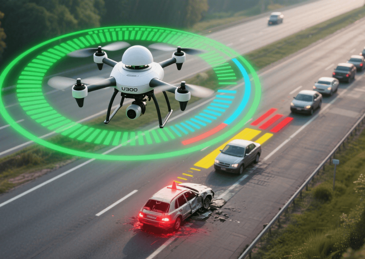
U300 radar provides similar predictive capabilities for UAVs:
-
Capturing trajectories of multiple dynamic objects with high refresh rates;
-
Detecting potential obstacles in urban environments, including pedestrians, other drones, or temporary structures;
-
Supporting autonomous obstacle avoidance and mission path optimization.
Practical Value:
-
Reduces collision risk and enhances proactive safety;
-
Provides decision support for traffic management systems to prevent accidents;
-
Ensures reliable UAV navigation for logistics and mission-critical tasks.
2. Multi-Platform Collaborative Sensing
Technical Challenges
Autonomous vehicles, drones, and roadside units often operate independently, resulting in fragmented perception. Differences in sensor sampling rates, resolutions, and interference can compromise overall environmental awareness.
Linpowave Solution
High-precision 4D point cloud data from the U300 radar can be fused with V200 vehicle radar and urban IoT sensors to create a shared perception layer:
-
Real-time environmental data sharing enables collaborative hazard prediction between UAVs and vehicles;
-
Integration of road conditions, traffic signals, and obstacle information improves city-wide traffic management decisions;
-
Deep learning models can classify radar point clouds and predict object behavior, enhancing decision reliability.
Practical Value:
-
Reduces blind spots through multi-platform shared perception;
-
Enables drone-assisted traffic monitoring to support smart traffic signal control;
-
Enhances autonomous vehicles’ decision-making in complex environments.
3. Decision Support in Complex Environments
Technical Challenges
Low visibility conditions—fog, rain, dust, or obstructions—reduce the effectiveness of optical sensors and cameras, affecting decision reliability.
Linpowave Solution
-
mmWave radar is inherently resilient to adverse weather and lighting conditions, providing stable range, speed, and azimuth measurements;
-
V200 and U300 radar combined with real-time data analytics can predict obstacle trajectories;
-
Systems can automatically calculate safe speeds and adjust travel paths to ensure autonomous vehicles and UAVs operate safely.
Practical Value:
-
Maintains autonomous vehicle safety in low-visibility conditions;
-
Allows UAVs to continue inspection, logistics, or emergency missions in challenging environments;
-
Reduces accident risk caused by environmental uncertainty.
4. Smart Traffic Optimization and Dynamic Scheduling
Technical Challenges
Urban traffic requires proactive management, not just reactive detection, to reduce congestion and prevent accidents.
Linpowave Solution
-
V200 radar collects vehicle speed, density, and lane occupancy data to feed traffic management systems for predictive analysis;
-
U300 radar provides aerial perspective data, assisting traffic scheduling at large intersections or event zones;
-
AI-based predictive models dynamically adjust traffic signals, lane usage, and vehicle routing.
Practical Value:
-
Reduces travel time and urban congestion in real time;
-
Supports rapid emergency vehicle routing, minimizing secondary accidents;
-
Enhances collaboration between autonomous fleets and city traffic management for optimized traffic flow.
Conclusion
Millimeter-wave radar is transitioning from a passive perception sensor to a proactive decision-support tool in intelligent transportation systems. Linpowave’s V200 and U300 radars deliver high-precision, robust, and scalable sensing capabilities, enabling:
-
Predictive traffic safety;
-
Multi-platform collaborative perception;
-
Reliable decision-making in complex environments;
-
Smart traffic optimization and dynamic scheduling.
These capabilities establish a strong technological foundation for autonomous vehicles, UAV logistics, and smart cities.


