







Why real-time obstacle avoidance matters in field robotics and UAV operations
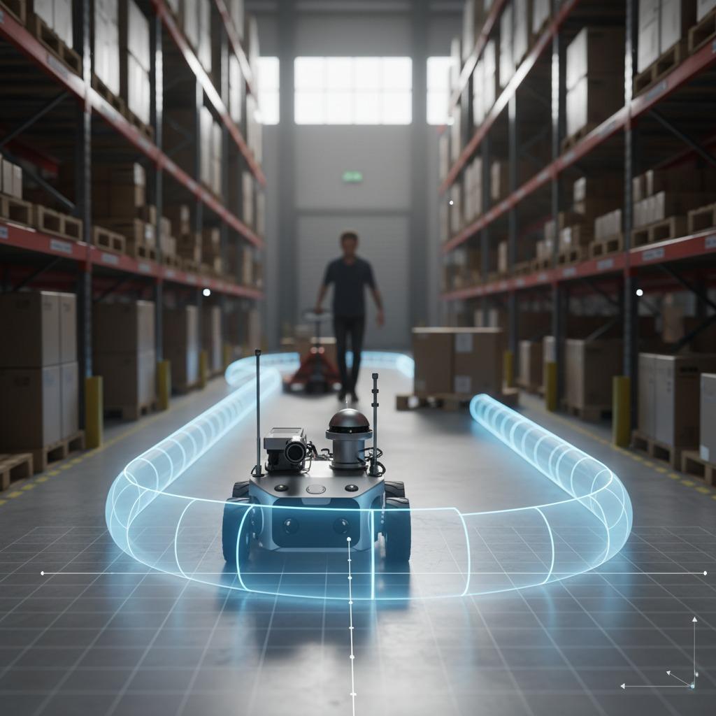
Real-time obstacle avoidance is no longer a niche capability reserved for research drones and demo robots. For anyone deploying unmanned aerial systems, warehouse robots, or inspection platforms, it is becoming a basic safety and uptime requirement. The reason is simple: the environment changes faster than a preplanned route can handle. A cable appears, a pallet moves, a person steps into a corridor, or wind pushes an aircraft off its intended line. If the machine cannot respond quickly, the result is usually a stop, a reroute, or worse, a collision.
That is why buyers are asking a more practical question now: not whether a system can fly or drive autonomously, but how it behaves when the map is incomplete, the path is blocked, or the scene changes in mid-mission. The answer often comes down to the quality of its sensing stack, its planning logic, and how gracefully it handles uncertainty.
The core problem: plans age faster than real environments
Many automation systems still rely on a clean separation between mapping, planning, and execution. That works in controlled settings. In a warehouse aisle with fixed traffic patterns, or a survey route over open ground, it can be enough. But once the operating area becomes dynamic, the gap between “planned” and “safe” gets wider.
This is where reactive navigation becomes important. A reactive system does not wait for a full mission replan before acting. It responds to new sensor data as it arrives, then adjusts speed, heading, or trajectory to maintain clearance. In practice, that can mean a smooth sidestep around a moving obstacle rather than a hard stop and restart.
For buyers, the business issue is not only safety. Every unnecessary pause eats into cycle time, battery life, and operator confidence. Over time, a system that hesitates too often becomes expensive to run, even if the hardware itself is affordable.
How the main avoidance stack usually works
Most real-world deployments rely on a layered approach rather than one magic algorithm. The stack usually combines sensing, local decision-making, and route adjustment.
1. 3D occupancy mapping
3D occupancy mapping helps the robot or drone represent nearby space as occupied, free, or unknown. For aerial systems, this is especially useful because hazards are not only on the ground. Branches, beams, shelves, pipes, and suspended structures all matter. A shallow map can miss overhead risk; a true 3D model gives planners more room to work with.
Still, buyers should be cautious here. A dense map is not automatically a better map. It can become noisy, slow to update, or computationally heavy. The useful question is whether the system maintains enough spatial awareness to support safe motion at the intended speed.
2. Safe flight corridor generation
In drone applications, safe flight corridor generation is a practical way to turn complex space into manageable geometry. The idea is to define a corridor that stays clear of obstacles while still allowing a vehicle to move efficiently. This can make planning more stable than trying to thread a path one point at a time through a cluttered scene.
For inspection work, that matters. A corridor can help maintain camera framing, reduce abrupt turns, and keep the aircraft away from sensitive structures. It also gives operators a clearer sense of what the autonomy system is trying to do.
3. Local path replanning
Local path replanning is often the difference between a system that looks smart in a demo and one that survives daily use. When the planned route is blocked, the controller should adjust only the affected segment instead of recomputing the entire mission from scratch. That keeps the machine responsive and avoids overreacting to small changes.
The trade-off is that local replanning needs reliable sensors and sensible constraints. If the system is too aggressive, it can “hunt” around obstacles and create jerky motion. If it is too conservative, it will stop too often and defeat the point of autonomy.
What buyers should compare before choosing a system
There are a few questions that matter more than marketing language.
Can the platform detect small and fast-moving obstacles in time, or only larger static objects? How does it behave in poor lighting, dust, rain, or reflective surfaces? Does the navigation stack update continuously, or only after a full scan cycle? And perhaps most importantly, does the system fail safely when confidence drops?
This is where engineers and sourcing teams should ask for operational detail rather than broad claims. A vendor may say the platform supports real-time obstacle avoidance, but the real issue is whether avoidance still works at the intended speed, in the intended environment, with the intended payload.
That last point is easy to overlook. Payload changes sensor placement, weight, power draw, and sometimes flight dynamics. A configuration that works well empty may behave differently once cameras, LiDAR, or other instruments are mounted.
Common mistakes that slow adoption
One frequent mistake is treating mapping and avoidance as separate purchasing decisions. In reality, they are tightly linked. A strong planner cannot compensate for poor sensing, and a capable sensor suite will not help if the motion controller cannot act on data quickly enough.
Another common error is overfitting the system to a clean test route. If the machine only proves itself in a wide, uncluttered space, the field performance may disappoint. Buyers should push for scenarios that include partial occlusion, moving people, unexpected clutter, and deliberate route blocks.
A third mistake is assuming every obstacle should trigger the same response. In practice, the best systems distinguish between obstacles that require a stop, those that require a detour, and those that simply require a speed reduction.
Practical buyer advice
If you are evaluating platforms, focus on behavior under pressure. Ask for live demonstrations, not just simulation screenshots. Watch how quickly the system detects change, how smoothly it executes local path replanning, and whether the motion remains predictable to a human observer.
It also helps to define the operating envelope early. Indoor or outdoor? Narrow aisles or open sky? Stationary assets or moving traffic? The right level of safe flight corridor generation and 3D occupancy mapping depends on those details. A compact warehouse robot and a long-range inspection UAV may both need avoidance, but they will not need the same architecture.
FAQ: short answers buyers usually want
Is real-time obstacle avoidance the same as autonomous navigation?
Not quite. Autonomous navigation is broader. Real-time obstacle avoidance is one part of it, focused on responding safely to immediate hazards.
Do I need 3D mapping for every application?
No, but it is often valuable when obstacles can appear at different heights or when the operating area is cluttered and changing.
What usually causes avoidance systems to underperform?
Delayed sensing, weak local replanning logic, noisy maps, and unrealistic test conditions are the usual culprits.
What a good next step looks like
For sourcing teams and engineering leads, the next step is to turn “avoidance” into testable requirements. Define the obstacle types, update rate, safety behavior, and environment constraints. Then compare systems on how they actually respond, not just on whether they claim to respond.
That approach saves time later. It also helps separate a polished demo from a machine that can keep working when the aisle gets busy, the route changes, or the mission gets messy.