






Why takeoff and landing assistance matters more than it looks
Takeoff and landing assistance is one of those drone capabilities that only gets attention after something goes wrong. On paper, it sounds like a comfort feature. In practice, it is often the difference between a clean mission and a bent propeller, a damaged payload, or a drifted landing on uneven ground. For engineering teams, sourcing managers, and product planners, the real question is not whether the feature is impressive. It is whether it improves reliability in the environments where the aircraft actually operates.
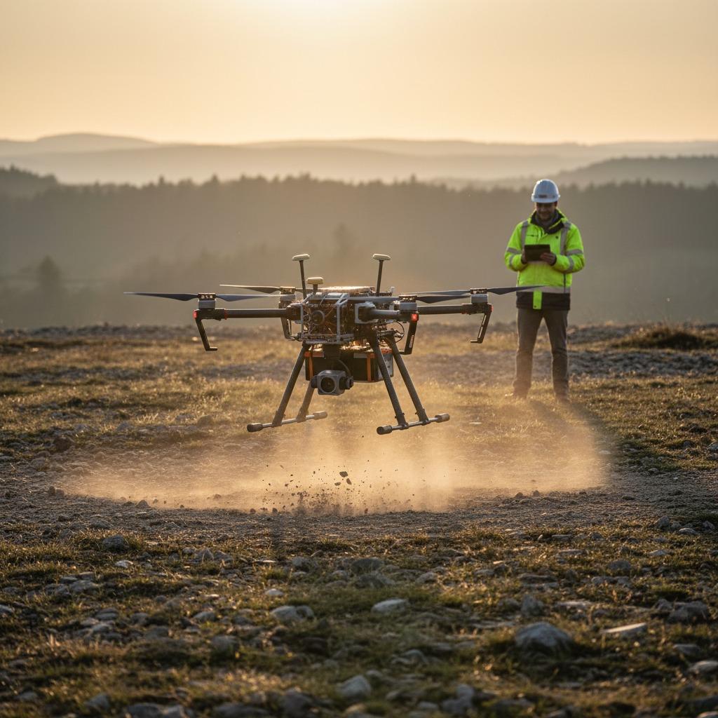
That matters because launch and recovery are the most vulnerable moments in a flight cycle. The aircraft is close to people, equipment, rooftops, vehicle roofs, ship decks, or rough terrain. Wind gusts, glare, dust, and small vertical errors carry more consequence at low altitude than they do at cruise. A system built for takeoff and landing assistance should help the aircraft sense its surroundings, hold position with more confidence, and settle into a safe touchdown without making the operator babysit every second.
What the feature is really doing
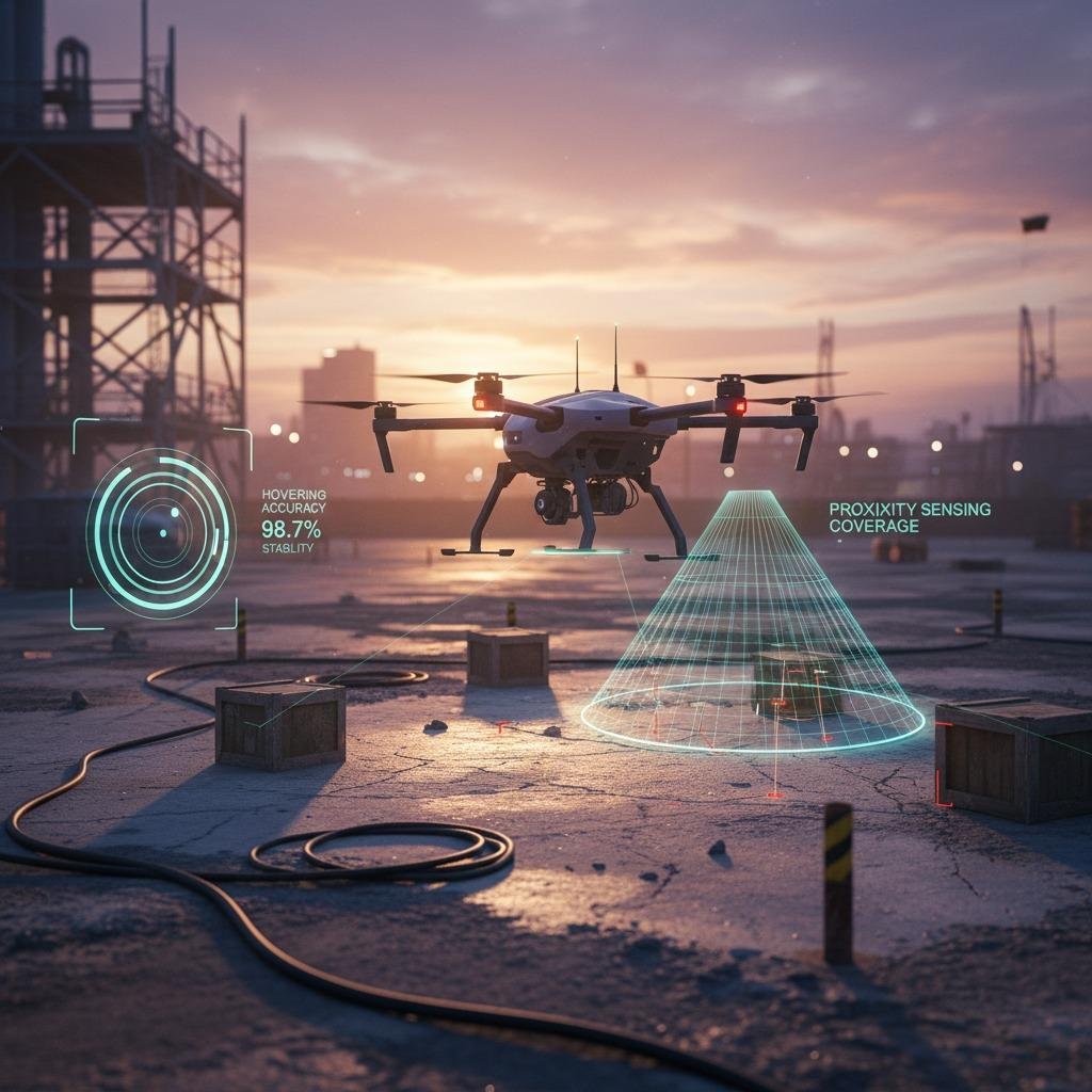
Different platforms describe the capability in different ways, but the useful functions tend to overlap. Good takeoff and landing assistance usually combines hovering accuracy, proximity sensing, and some form of low-altitude obstacle mapping. In some systems, terrain following is also part of the equation, especially when the aircraft needs to stay consistent over uneven ground or slope changes.
The practical goal is simple: keep the aircraft from making bad decisions during the few seconds when it is closest to the ground and least forgiving of errors. If the machine can detect surfaces, stabilize itself, and understand local elevation changes, the operator gets a wider margin for error. That margin can be modest, but in field work modest is often enough.
Quick-reference view: what buyers should look for
Not every launch-and-recovery aid solves the same problem. Some systems are mainly about improving hover stability. Others are better at recognizing landing zones with clutter or irregular elevation. A buyer comparing options should ask a few direct questions:
Does the system improve hovering accuracy near the ground, or only at a distance? Can it interpret terrain following data without constant operator input? What type of proximity sensing is used, and how well does it behave in poor light or on reflective surfaces? Can it support low-altitude obstacle mapping in messy environments, or is it best left to controlled pads and flat clearings?
Those details matter because a system can look capable in a demo and still struggle on a windy worksite, a utility corridor, or a landing zone with cables, gravel, and uneven edges.
Common technologies and where each one helps
Proximity sensing
Proximity sensing is often the first line of defense. It helps the aircraft understand nearby surfaces or objects during the final stage of descent. For landing, that can reduce last-second drift and help the controller avoid a hard touch or collision. The caution here is straightforward: sensing range and sensing reliability are not the same thing. A sensor that works well in a clean lab can be less convincing outdoors.
Hovering accuracy
Hovering accuracy is especially important during takeoff, when the aircraft needs to rise, stabilize, and hold position before committing to the rest of the mission. It is also useful in confined landing zones where the system may need to pause, re-center, and descend in stages rather than dropping straight in. For teams evaluating platforms, this is one of those specifications that should be interpreted in context, not as a headline number alone.
Terrain following
Terrain following becomes valuable when the ground itself is part of the problem. Agricultural fields, sloped industrial sites, rocky surfaces, and inspection work near embankments all benefit from a system that can account for elevation changes. Without it, the aircraft may behave as if the ground is flatter than it really is. That is a small assumption until it is not.
Low-altitude obstacle mapping
Low-altitude obstacle mapping helps the aircraft identify hazards that are easy to miss during approach: posts, cables, railings, uneven pads, and temporary equipment. It is not a substitute for good operational discipline, but it can reduce dependence on visual judgment alone. The most useful systems tend to be the ones that make the operator’s job easier without encouraging complacency.
Selection criteria that are easy to overlook
One common mistake is treating all launch and recovery environments as if they were the same. A rooftop landing and a field landing are not interchangeable. A vehicle-deployed system has different constraints than a drone operating from a fixed pad. Buyers should also consider whether the aircraft will be used by experienced pilots only, or by mixed teams with varying skill levels. Assistance features often pay for themselves fastest where operator experience is uneven.
Another useful filter is weather tolerance. Wind, dust, glare, and wet surfaces can change how well sensing and stabilization behave. The feature set may look complete, but if it becomes unreliable in the conditions that matter most, it is not really reducing risk. It is just moving the risk somewhere else.
Practical advice for sourcing and product teams
When comparing platforms, ask for plain-language explanations of how the aircraft behaves during the last few meters of approach. Does it slow gracefully? Does it continue to compensate for drift? Can it identify an unsuitable landing spot and reject it? Those are more useful questions than broad promises about autonomy.
It is also worth separating operator convenience from mission value. A smooth landing sequence is nice. A repeatable landing sequence that protects the airframe, payload, and surrounding equipment is the real buying criterion. If a system can reduce mishaps without requiring constant tuning, it is usually worth serious attention.
FAQ
Is takeoff and landing assistance only for beginners?
No. Experienced operators benefit from it too, especially in tight or changing environments where even skilled manual control has limits.
Does more sensing always mean better performance?
Not necessarily. Sensor quality, integration, and real-world behavior matter more than the number of features on the spec sheet.
Should buyers prioritize terrain following or proximity sensing first?
It depends on the mission. Rough ground points toward terrain following. Confined or cluttered landing zones usually make proximity sensing more urgent.
A sensible next step
If you are evaluating a drone or subsystem with takeoff and landing assistance, start by matching the feature to the field conditions, not the brochure. Define the landing surface, the operator skill level, the weather exposure, and the cost of a bad touchdown. Then decide whether the system’s hovering accuracy, terrain following, proximity sensing, and low-altitude obstacle mapping are strong enough for the job. That is usually where the real answer appears.