







Why terrain feature matching matters
Terrain feature matching is one of those geospatial tasks that sounds narrow until a project depends on it. If you are comparing maps, aligning sensor outputs, checking changes in a construction zone, or trying to reconcile data from different platforms, the weak point is usually not the sensor itself. It is the ability to make features line up reliably when the ground is uneven, the lighting shifts, or the viewing angle changes. That is where matching methods become a practical decision, not just an academic one.
For engineers, sourcing teams, and product groups working with geospatial data, the real question is not whether the data looks good in a demo. It is whether the workflow can extract usable structure from a slope, a ridge, a road edge, or a dense urban surface without wasting analyst time. In practice, terrain feature matching helps reduce manual alignment work, improve comparison between datasets, and support downstream tasks such as Infrastructure contour extraction, 3D urban modeling, and Fine-grained surface mapping.
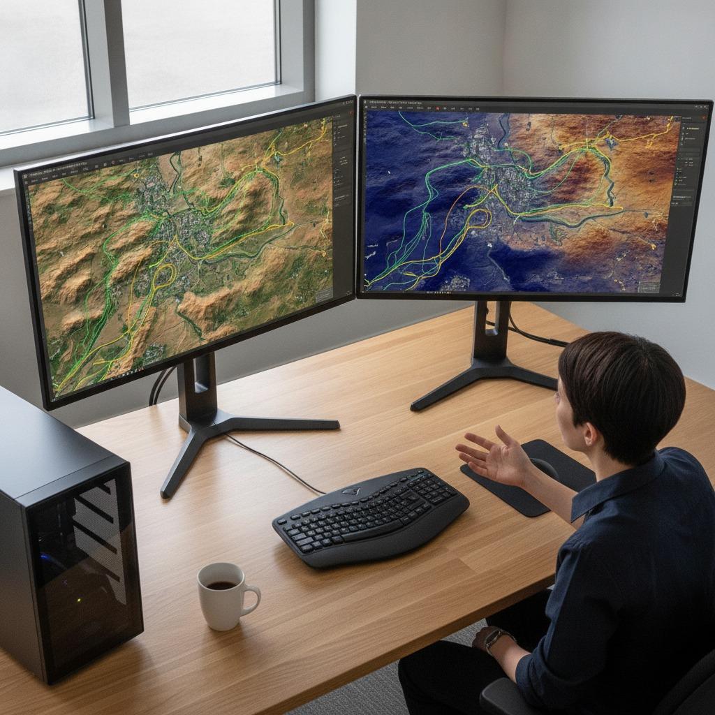
The basic challenge: terrain rarely behaves like a clean drawing
Flat test scenes are forgiving. Real terrain is not. Elevation changes create shadows, partial occlusions, and perspective distortion. Vegetation can hide the ground surface. Built environments add repetitive geometry that confuses pattern-based methods. Even when two datasets cover the same area, they may differ in resolution, noise level, viewpoint, or capture time. That mismatch is what makes the problem expensive.
This is also why many teams look beyond simple image registration. In difficult environments, successful matching often depends on combining geometric cues with surface texture, elevation information, or contextual features. A road embankment, a roofline, or a drainage channel may be more useful than a visually obvious landmark if the goal is stable alignment across datasets.
What a practical workflow usually looks like
1. Detect stable features
The first step is identifying points, edges, or regions that remain recognizable across views. These may come from optical imagery, elevation models, LiDAR-derived surfaces, or radar-based data. The choice matters. Some features are visually strong but geometrically weak. Others are subtle yet more stable over time.
2. Normalize the data as much as possible
Before matching begins, teams often need to correct for scale, orientation, intensity variation, or sensor-specific distortion. This is where pre-processing can save the project. If the inputs are inconsistent, the matching algorithm will spend too much effort fighting noise instead of identifying true correspondences.
3. Match and score correspondences
Once features are detected, the system compares them across datasets and assigns confidence values. Good workflows do not rely on a single match count. They look for spatial consistency, cluster behavior, and outlier rejection. That is especially important in busy urban or mountainous scenes where false matches can accumulate quickly.
4. Validate against the use case
A model that performs well for broad terrain association may still fail when the task becomes Infrastructure contour extraction or detailed asset placement. The resolution required for a planning map is not the same as the resolution needed for a design workflow. Buyers should test the matching method against their own terrain complexity, not just against a vendor example.
Quick comparison: where different approaches tend to help
Feature-based approaches are often preferred when the scene contains distinctive edges, corners, or landmark geometry. They can be efficient, but they may struggle in sparse landscapes with few obvious targets.
Surface-based methods are useful when elevation or shape is more important than visible texture. They are often considered in engineering and surveying contexts where the surface itself carries the signal.
Multi-sensor approaches, including Orthophoto enhancement via radar, can help when optical imagery alone is not enough. Radar can contribute information under cloud cover or in low-contrast scenes, although it introduces its own interpretation challenges. This is rarely a one-button fix, and that is worth stating plainly.
Selection criteria that matter more than marketing copy
When evaluating terrain feature matching tools or workflows, look closely at the type of terrain you actually process. Coastal areas, forests, construction corridors, and dense urban blocks each produce different failure modes. A method that works on open land may become fragile in a built-up corridor with repeated rooftops and narrow shadows.
Also ask how the system handles scale differences and viewpoint changes. If your data comes from mixed collection platforms, that tolerance can matter more than raw matching speed. Another practical consideration is the quality of the output, not just the match count. Can the result support measurements, map revision, or 3D urban modeling without heavy cleanup?
Finally, consider analyst workload. A tool that requires constant manual correction may look acceptable in a short demo but become costly on a live program. In sourcing terms, that is a hidden operating expense, and it tends to show up late.
Common mistakes that slow teams down
One common mistake is assuming that more data automatically means better matching. Dense data can help, but only if the features are stable and the pre-processing is under control. Otherwise, the system simply finds more ways to be wrong.
Another error is ignoring the terrain class. A rural corridor, a quarry, and an urban rooftop network should not be treated as the same problem. Teams sometimes compare tools on the easiest scene in the archive and then wonder why production results drift.
There is also a tendency to overvalue visual similarity. Two surfaces may look alike and still be poor matches if they have different structure, elevation behavior, or sensor artifacts. That gap is where careful validation matters more than presentation-quality screenshots.
Buyer-facing advice for engineering and product teams
If you are selecting a platform, ask for examples that resemble your real operating environment. That means your terrain complexity, your sensor mix, and your expected output format. If the workflow supports 3D urban modeling, ask how it treats tall structures, occlusions, and repetitive geometry. If your use case is fine detail, ask what happens when the scene includes narrow surface transitions or broken contours.
It also helps to define success early. Are you trying to reduce manual alignment, improve change detection, or generate a cleaner base for downstream mapping? Those are related goals, but they are not identical. A tool that improves visualization may not be the best choice for measurement-grade work.
For teams building internal pipelines, interoperability is worth attention. Data rarely enters from one source and leaves in one format. Matching methods should sit comfortably beside GIS tools, remote sensing pipelines, and quality-control steps rather than forcing a custom workaround every time.
FAQ
Is terrain feature matching only for remote sensing specialists?
No. It is increasingly relevant to engineering teams, infrastructure planners, mapping groups, and product teams that depend on spatial alignment. The technical depth varies, but the business problem is common: make different terrain datasets agree well enough to use.
Does radar always improve matching?
Not always. Orthophoto enhancement via radar can be useful when optical data is limited, but radar interpretation is not trivial. The benefit depends on the scene, the processing chain, and the amount of expert review available.
What matters more, feature density or feature quality?
Quality usually wins. A smaller number of stable, repeatable features is often more useful than a crowded set of weak ones. In difficult terrain, too many uncertain matches can be worse than too few strong ones.
What to do next
For teams evaluating terrain feature matching, the smartest next step is to test it against one real workflow, not a generic sample. Use your own terrain, your own sensors, and your own output expectations. That will show whether the method supports the job or merely makes the data look aligned on screen. If the goal is reliable mapping, contour extraction, or 3D urban modeling, the details matter more than the headline features.