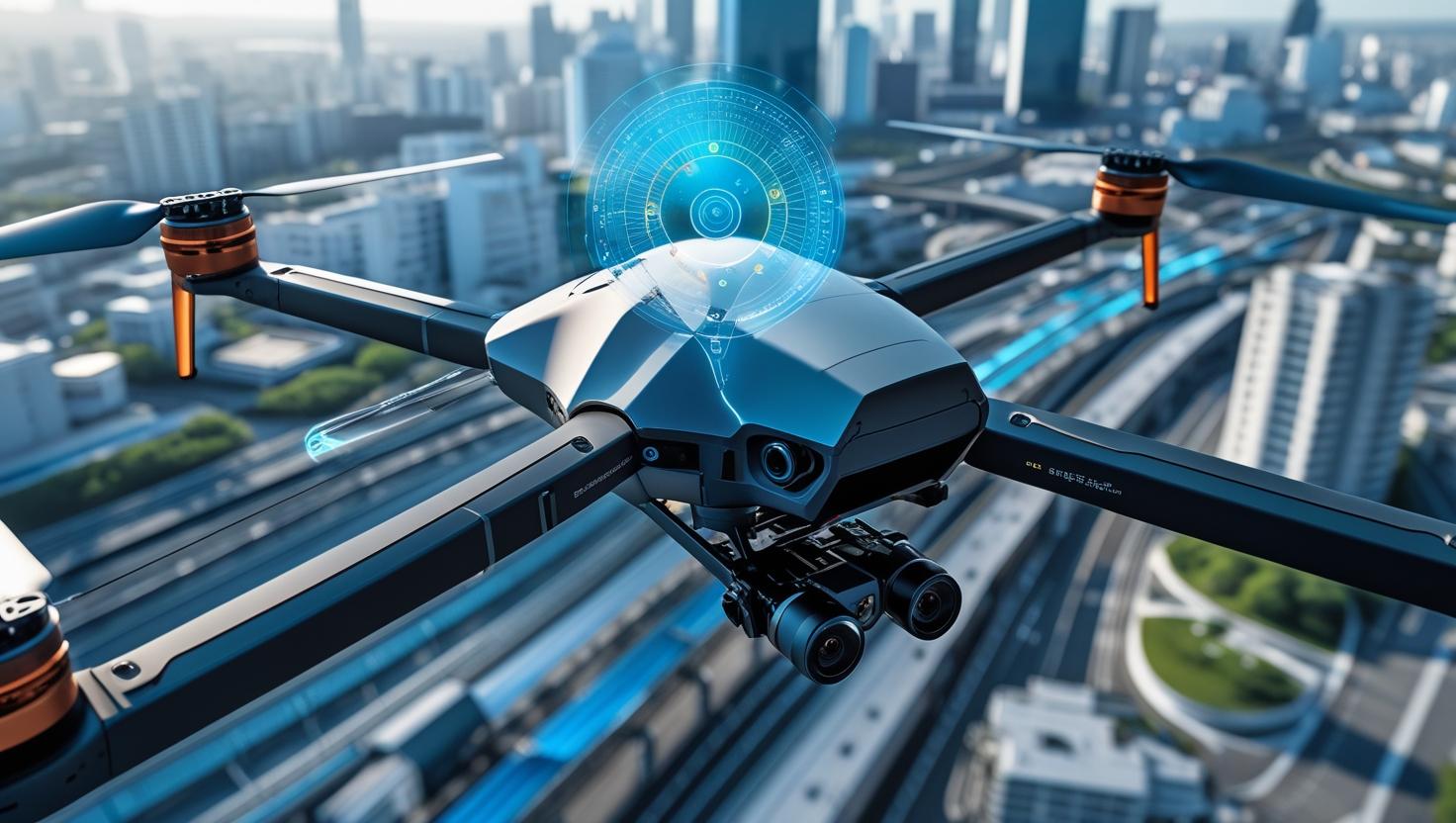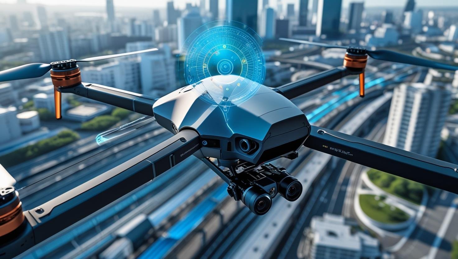
Urban Drone Inspection: Safe and Precise Monitoring in Complex Cityscapes
Urban environments demand smarter, safer drone operations. From high-rise buildings and bridges to power lines and tunnels, inspecting urban infrastructure by UAV is faster and more cost-effective than manual methods—but only if the drone cannavigate dense, GPS-compromised areas safely.
That’s whereLinpowave’s radar sensing technologycomes in.
The Challenge of Urban Airspaces for UAVs
In cityscapes, traditional visual sensors can struggle with:
-
Reflective glass and metal structures
-
Narrow gaps between buildings
-
GPS signal loss near skyscrapers
-
Dynamic obstacles like cranes and cables
-
Poor lighting in tunnels or underpasses
Without robust obstacle detection, UAVs risk collision—makingurban drone inspection risky and unreliable.
Radar-Based Navigation for Safer Urban Flights
Linpowave’s millimeter-wave radar modules are built for these challenges. Unlike cameras or LiDAR alone, radar works inall weather conditions, detects both static and dynamic obstacles, and performs wellin low visibility.
Key advantages include:
-
360° non-contact sensingfor seamless close-range flight
-
GNSS-free operationfor tunnel and bridge inspections
-
Detection of small, hard-to-see objectslike cables and poles
-
Lightweight designfor compact drones in tight spaces
-
Electromagnetic immunity—ideal for environments near power stations or substations
Real Applications: From Bridges to Buildings
Based on real scenarios from Linpowave’sDrone/UAV Series, here are typical urban drone inspection use cases:
1.Building Façade Inspection
For real estate, architecture, and city maintenance teams, Linpowave-enabled drones can approach façades with precision, detecting cracks, aging materials, and structural shifts without scaffolding or rope access.
2.Bridge and Tunnel Inspection
Whether flying under bridges or inside tunnels, Linpowave radar ensures safe navigation inGPS-denied environments, supporting data collection for civil engineering evaluations.
3.Powerline and Substation Monitoring
Urban power grids often run through dense, congested routes. Radar-equipped UAVs can inspect live wires, poles, and substations while maintaining a safe distance and stable positioning.
4.Railway Infrastructure Scanning
Linpowave solutions enable UAVs to fly along railway corridors, collecting high-resolution data while detecting overhead wires and signal structures—all critical in city transit networks.
Why Radar Outperforms Visual Sensing in Cities
While many inspection drones rely on camera-based obstacle avoidance, these systems oftenfail under poor lighting, rain, fog, or when dealing with transparent obstacles like glass windows. Linpowave’s radar adds areliable layer of redundancy, ensuring uninterrupted inspection workflows even when visibility drops.
In smart cities, whereunmanned traffic management (UTM)andBVLOS (beyond visual line of sight)drone operations are growing, radar becomesa core component for flight safety and regulatory compliance.
Linpowave: Elevating Urban UAV Operations
By combiningcompact radar modules,low power consumption, andplug-and-play integration, Linpowave is enabling a new generation of drones capable of:
-
Safely navigating vertical infrastructure
-
Conducting accurate surveys in GPS-blocked zones
-
Operating in rain, dust, or dimly lit environments
-
Enhancing inspection workflows for governments and enterprises
Linpowave’s technologies are already helping UAV providers and inspection teams improve efficiency and reduce risks in modern city environments.
Unlock Safer Urban Airspace with Linpowave
Whether you're developing drone-based inspection services or upgrading existing fleets,Linpowave radar systemsprovide the precision, safety, and scalability required for urban infrastructure monitoring.
Explore more at ourhomepageorcontact usto discuss radar integration for your next UAV project.


