






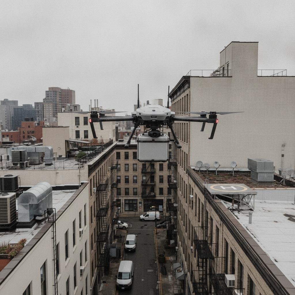
Why urban drone navigation is harder than it looks
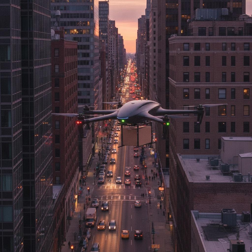
Urban logistics drone navigation is not just a matter of plotting a GPS line from warehouse to rooftop. In city airspace, the aircraft has to make sense of changing geometry, mixed traffic, signal reflection, temporary obstructions, and landing targets that are often smaller and less forgiving than they appear on a map. For engineers and sourcing teams, the real question is not whether a drone can fly in a city. It is whether it can consistently find the right place, at the right time, and finish the drop without creating a new problem for operations staff on the ground.
That is why navigation in dense urban delivery is usually discussed alongside sensing, mapping, and last-meter handling. The flight path matters, but so does delivery point detection, loading/unloading zone sensing, and the ability to recognize whether the landing or release area is actually clear. A system that looks reliable in a test corridor can become fragile when trucks are parked differently, a temporary barrier appears, or the target zone is partly shaded and partially occluded.
The practical problem: the final 20 meters are the risky part
Most teams focus first on range, payload, or battery life. Those matter, but urban delivery failures often happen much closer to the ground. A drone may reach the destination with no issue and still miss the handoff because the intended drop zone is busy, altered, or visually ambiguous. That is where automated package drop-off becomes less of a marketing phrase and more of a systems challenge.
In practical terms, the navigation stack has to answer several questions fast:
Where exactly is the delivery point?
Is the area safe for lowering or releasing a parcel?
Has the environment changed since the last map update?
Can the system distinguish a valid drop zone from a similar-looking surface nearby?
If the answer to any of those is uncertain, the delivery may need to be delayed, rerouted, or handed off to an operator. That may sound conservative, but in city logistics conservative behavior is usually cheaper than a failed drop or a damaged package.
What a usable urban navigation system needs
A workable system is usually built from several layers rather than one heroic sensor.
1. A current map, not just a static route
Urban obstacle database update is one of the most underrated requirements. Cities change by the hour. Construction lifts, parked vehicles, street furniture, temporary signage, and even seasonal changes can affect low-altitude operations. A static obstacle database can still be useful as a baseline, but it should not be treated as truth without some form of refresh.
2. Reliable target recognition
Delivery point detection should help the drone identify the intended handoff location, not merely the general address. This matters when the delivery target is a balcony, rooftop pad, fenced yard, loading dock, or a marked drop box. The more the design depends on visual cues alone, the more important lighting, contrast, and camera angle become.
3. Ground-zone awareness
Loading/unloading zone sensing is especially important when people, vehicles, or obstacles may enter the delivery area without warning. A drone that can verify clear space before descent or release is better suited to mixed-use urban sites than one that assumes the zone remains unchanged from mission planning.
Selection criteria buyers should not ignore
When teams compare platforms, it helps to separate mission claims from operational realities. A vendor may describe a drone as “autonomous,” but the better question is how much uncertainty it can tolerate before requiring intervention. Ask how the system behaves when visibility drops, when a landing zone is partially blocked, or when the target marker is missing.
Also look at how the platform handles exceptions. Does it reattempt, hover, alert, or abort? A good exception policy is not a nice-to-have. In city logistics, it is part of the product.
Another point that gets overlooked: the navigation system should support the rest of the workflow, not compete with it. If package handling is still manual, a sophisticated airframe can become bottlenecked by slow ground operations. Automated package drop-off is only useful when the receiving process is equally disciplined.
Common mistakes in urban drone deployment
One common mistake is assuming a pilot program proves city readiness. It usually proves only that the chosen route worked under the chosen conditions. Another is relying too heavily on idealized maps and not enough on field updates. Teams also sometimes over-specify the aircraft while under-specifying the ground environment, which is backward for delivery work.
A more subtle mistake is ignoring how the destination looks from the drone’s perspective. Human operators think in street addresses and known landmarks. Machines need consistent visual, spatial, or sensor-based cues. If those cues are weak, the system may need a more robust acceptance zone or a different delivery format.
What good deployment looks like
The best urban logistics drone navigation setups are usually boring in the best sense. They validate targets, confirm zone safety, keep obstacle data current, and fail safely when conditions drift outside the approved envelope. They also leave room for operational judgment, because city delivery is full of edge cases that do not show up neatly in a demo.
For sourcing managers, the decision is less about buying the most advanced feature set and more about buying the right level of environmental awareness. For product teams, it is about designing a delivery process that can survive clutter, motion, and imperfect data.
FAQ: short answers buyers often need
Is GPS enough for city delivery?
Usually not. GPS can support routing, but urban delivery often needs additional sensing for target detection and final positioning.
Do all systems need obstacle updates?
If the route crosses active city space, yes, some form of urban obstacle database update is hard to avoid. The frequency and method can vary, but stale data is a real risk.
What matters most at the destination?
Clear recognition of the delivery point and confidence that the loading/unloading zone is safe enough for the chosen action.
Next step for engineering and sourcing teams
Before approving a platform, map the full delivery sequence from approach to drop-off, then identify where the system depends on visual cues, ground clearance, or updated city data. That exercise usually exposes the real weak link faster than any brochure. If urban logistics drone navigation is part of your roadmap, the smartest next move is to test the final delivery zone under imperfect conditions, not just on a perfect day.