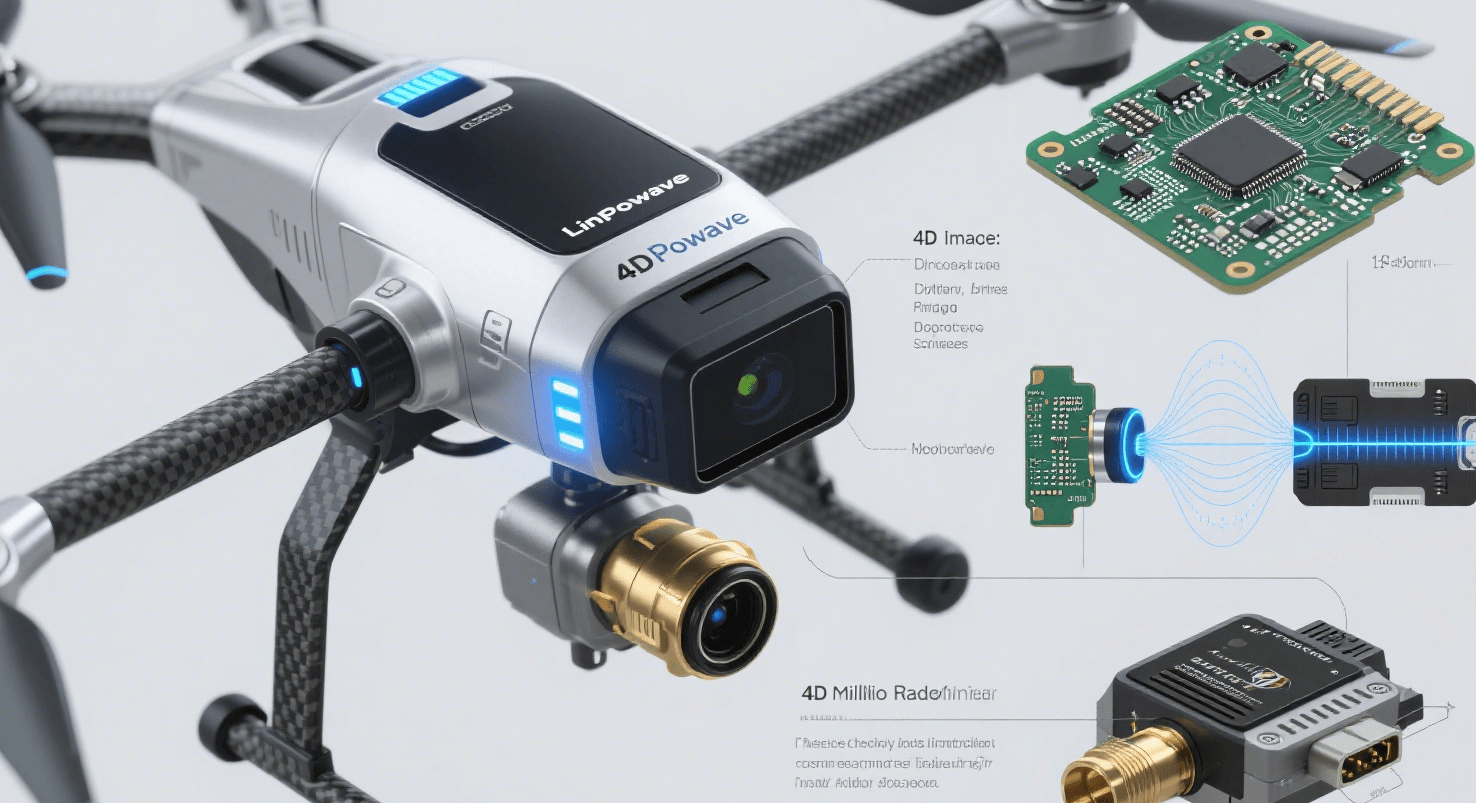
Advanced Radar for UAV Navigation: Precision in Complex Environments
As unmanned aerial vehicles (UAVs) continue transforming industries—from aerial delivery and infrastructure inspection to disaster response—the demand for reliable navigation and obstacle avoidance becomes more critical than ever. Traditional sensing systems like GPS, LiDAR, and cameras all face limitations: GPS accuracy degrades in urban canyons, LiDAR struggles in fog or dust, and cameras fall short in low-light or harsh weather. mmWave radar, particularly Linpowave’s advanced 4D mmWave radar modules, offer a compelling solution.
Why mmWave Radar Is Crucial for UAV Reliability
Linpowave’s Drone/UAV Series harnesses the power of 76–81 GHz 4D mmWave radar, delivering high-precision detection and real-time spatial mapping for UAV applications Ningbo Linpowave+1. Key advantages include:
-
All-weather reliability: Radar penetrates fog, rain, dust, and darkness, maintaining consistent performance when optical systems fail.
-
Precise obstacle detection: Modules like the U300 support 4D outputs—providing real-time X, Y, Z positioning plus relative velocity—crucial for collision avoidance and altitude control Ningbo Linpowave.
-
Long effective range: The U300 can sense targets up to 350 meters, enabling advanced flight automation and map generation Ningbo Linpowave.
Advanced Capabilities That Elevate UAV Functionality
Linpowave’s drone radar solutions support critical UAV functions:
-
Obstacle avoidance: Radar detects forward obstacles—trees, power lines, buildings—and enables path re-planning mid-flight to avoid collisions.
-
Terrain following: Real-time altitude feedback helps drones maintain a safe, consistent height over varying landscapes.
-
Precision landing: With accurate 3D positioning, drones can identify landing zones or markers even without GPS or visual cues.
-
Mapping and surveying: High-resolution point cloud data enables precise terrain mapping, asset surveys, and infrastructure scanning Ningbo Linpowave.
This makes Linpowave radars ideal for drones operating in urban delivery, inspection, and low-altitude environments.
Lightweight, Durable, and Integration-Ready
UAV integration demands sensors that are compact and energy-efficient. Linpowave’s U300 module is:
-
Lightweight and compact, for minimal impact on drone payload
-
Low power consumption, preserving flight time
-
Rugged—operational in temperatures from –40 °C to +85 °C, and resistant to rain, dust, or EMI interference Ningbo Linpowave.
These features make integration into commercial and industrial drones seamless, whether mounted on nose, belly, or gimbal systems.
Real-World Applications
-
Urban delivery drones: Real-time detection of building edges, power cables, and pedestrians enhances safety in crowded airspace.
-
Infrastructure inspections: Radar-enabled altitude tracking or obstacle mapping supports utility, bridge, and tower inspections.
-
Search and rescue: In smoky or dusty environments, radar ensures UAVs maintain situational awareness when optical sensors fail.
-
Agriculture and land surveying: Terrain mapping and safe altitude control enable efficient crop monitoring and field analysis.
Linpowave at the Drone Frontier
Founded in 2023, Ningbo Linpowave focuses on R&D and deployment of 4D mmWave radar across industry verticals. The Drone/UAV Series embodies the company's precision, flexibility, and innovation in aerial sensing Ningbo Linpowave. With a strong R&D team, over 10 patents, and a clean-room production facility, Linpowave’s radar modules combine cutting-edge performance with high reliability.
The Future of UAV Autonomy
As autonomy becomes standard in UAV operations, sensor reliability is paramount. mmWave radar will play an indispensable role in:
-
BVLOS operations (Beyond Visual Line of Sight)
-
Swarm coordination, where drones sense each other’s position for collision-free flight
-
Urban air mobility in smart cities
-
AI fusion systems, where radar complements vision and LiDAR for resilient perception
Conclusion
For UAV developers and drone operators seeking resilient, real-time sensing solutions, Linpowave’s 4D mmWave radar modules offer unmatched performance. With accurate obstacle avoidance, terrain mapping, and environmental resilience, radar is becoming the foundational sensor for next-generation drone autonomy. Discover Linpowave’s offerings and start building safer, smarter UAV systems.


