




smart drones
Home
smart drones

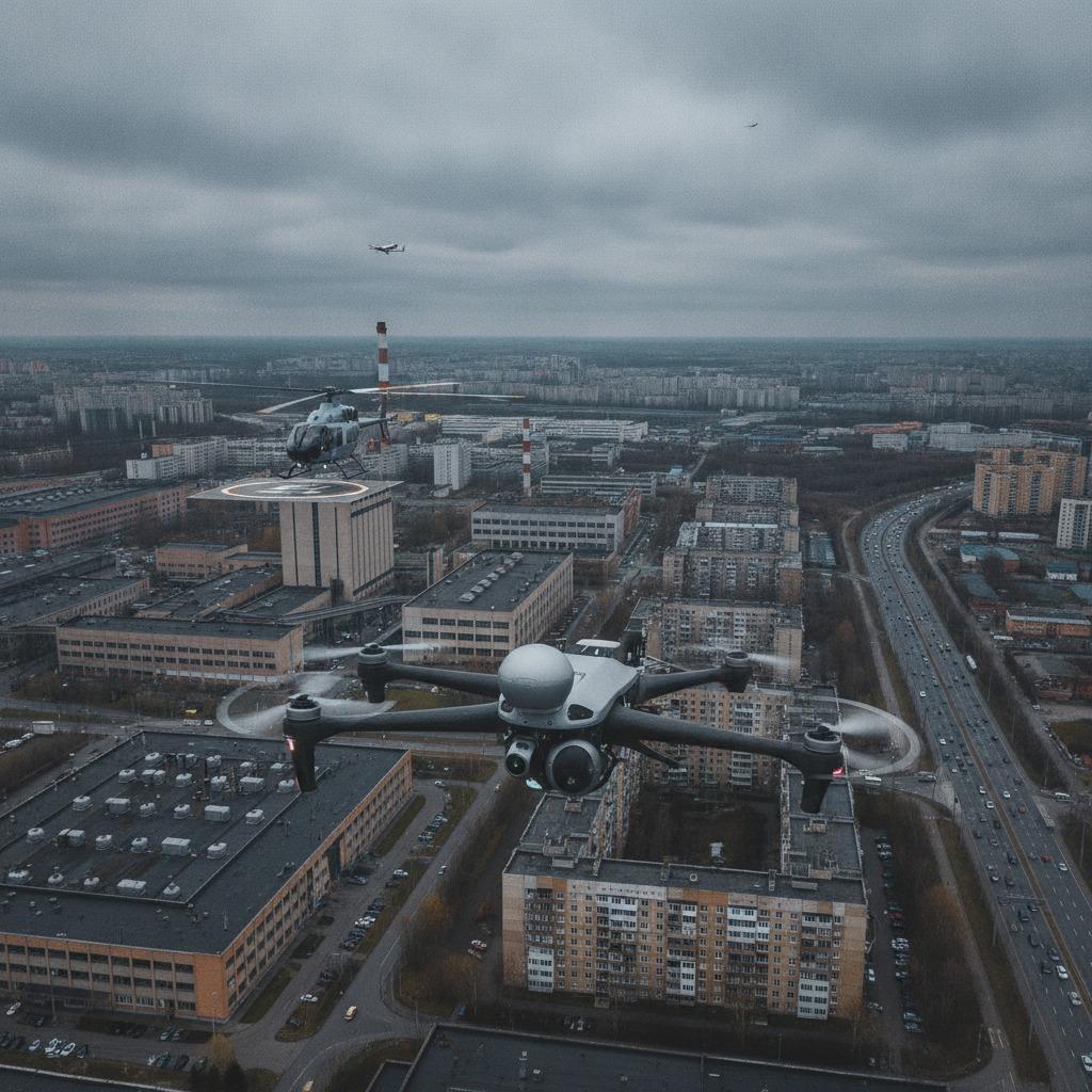
1. Why complex airspace operation is becoming a harder engineering problem 2. What makes the problem difficult in practice 3. Key capabilities buyers should compare 4. How to evaluate a solution without getting distracted by marketing language 5. Common mistakes that slow adoption 6. What a practical buying decision should look like 7. Buyer checklist for next steps
 Ningbo Linpowave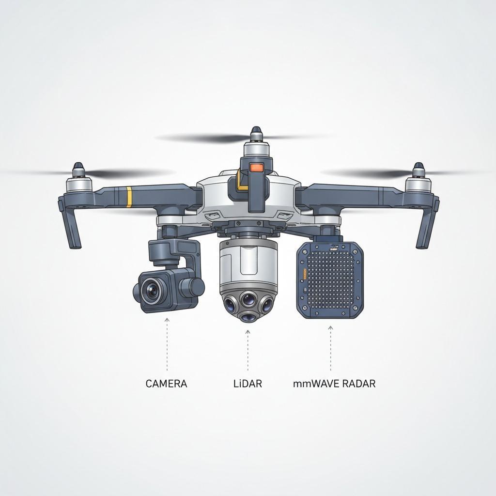
1. Why drone collision avoidance has become a design issue, not just a feature 2. What buyers really need to solve 3. Common sensing approaches and where they fit 4. Why range-Doppler mapping matters 5. Selection criteria that deserve more attention than they usually get 6. Typical mistakes in drone collision avoidance programs 7. Practical buyer advice 8. What to ask your engineering or supplier team 9. Next step
Ningbo Linpowave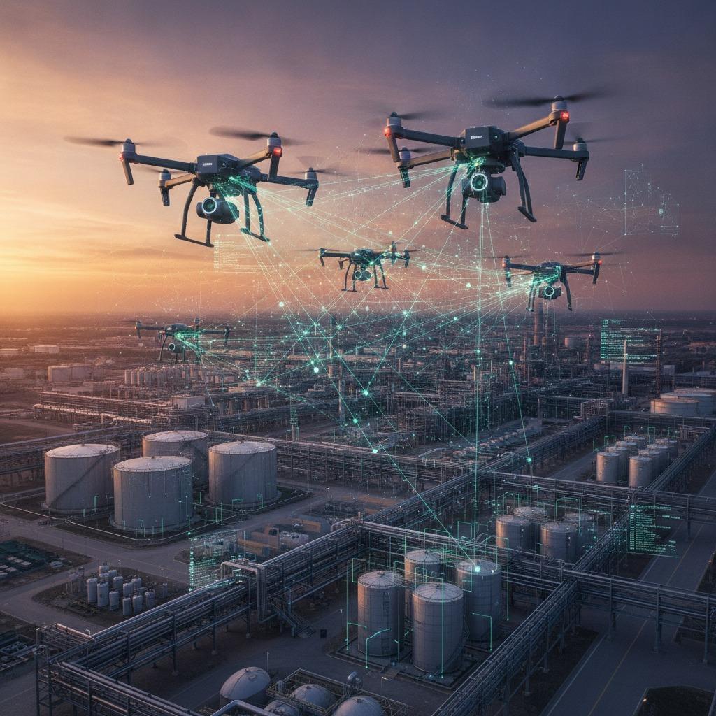
1. When a drone team needs to behave like one instrument 2. What a distributed sensing network is solving 3. Key functions buyers should evaluate 4. Selection criteria that matter in the field 5. Common mistakes in procurement and integration 6. Practical advice for engineering and sourcing teams 7. What this decision helps you avoid
Ningbo Linpowave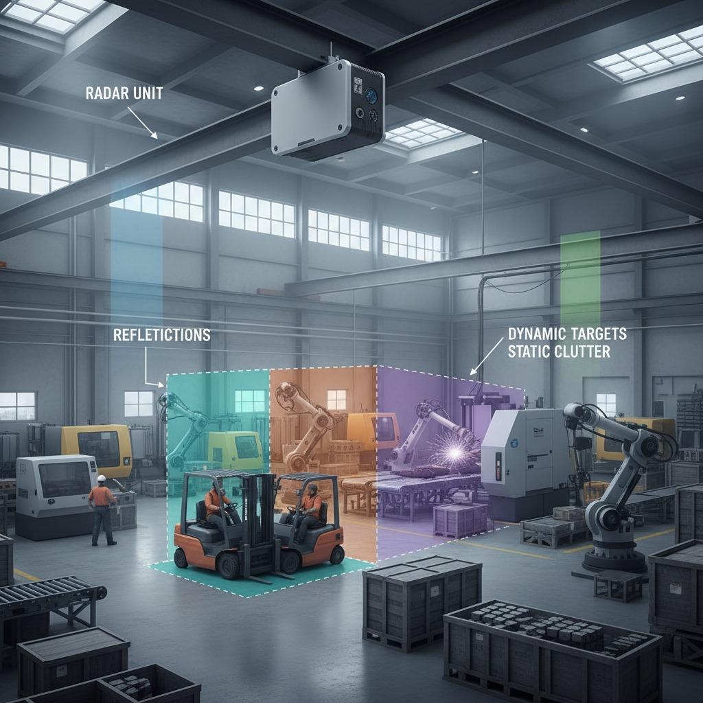
1. Why scene segmentation matters in radar and sensing workflows 2. The core challenge: more detail usually means more noise 3. What scene segmentation helps the system decide 4. Common approaches and where they fit 5. Selection criteria for engineers and sourcing teams 6. Common mistakes that slow projects down 7. Buyer advice: what to request before you commit 8. FAQ 9. Practical next step
Ningbo Linpowave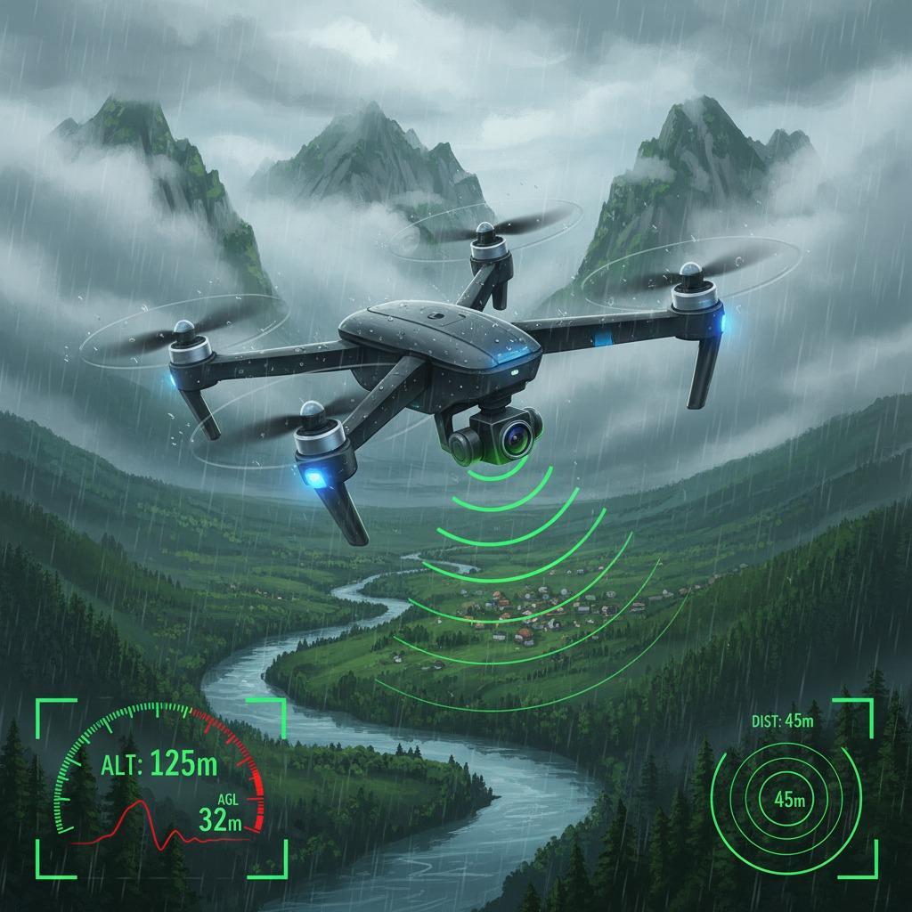
1.The Challenge of Accurate Altitude Measurement in Drones 2.Introducing the Drone Radar Altimeter as a Reliable Solution 3.Key Features of Radar Altimeter for Drones 4.Advanced Integration with Linpowave mmWave Radar 5.Benefits and Future Applications
Ningbo Linpowave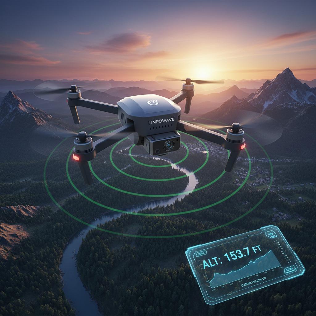
1. What is a Drone Radar Altimeter and How Does It Work? 2. Why Choose a Radar Altimeter for Drones Over Other Altitude Measurement Methods? 3. How Do Aerial Drone Radar Systems Enhance Flight Safety? 4. What Role Does Precision Altimetry in Drones Play in Professional Applications? 5. Can You Explain mmWave Radar and Its Use in Drone Altimeters? 6. Who Manufactures Reliable mmWave Radar for Drones, Like Linpowave?
Ningbo Linpowave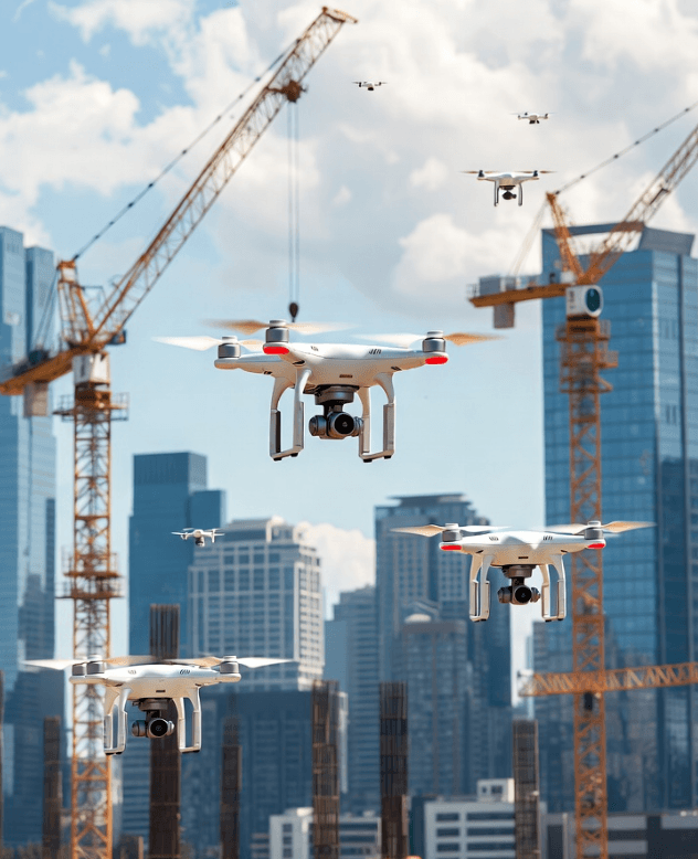
Discover why millimeter-wave radar is necessary for safe low-altitude drone operations and learn how urban flight safety criteria are determined. Information for smart cities and regulators.
Ningbo Linpowave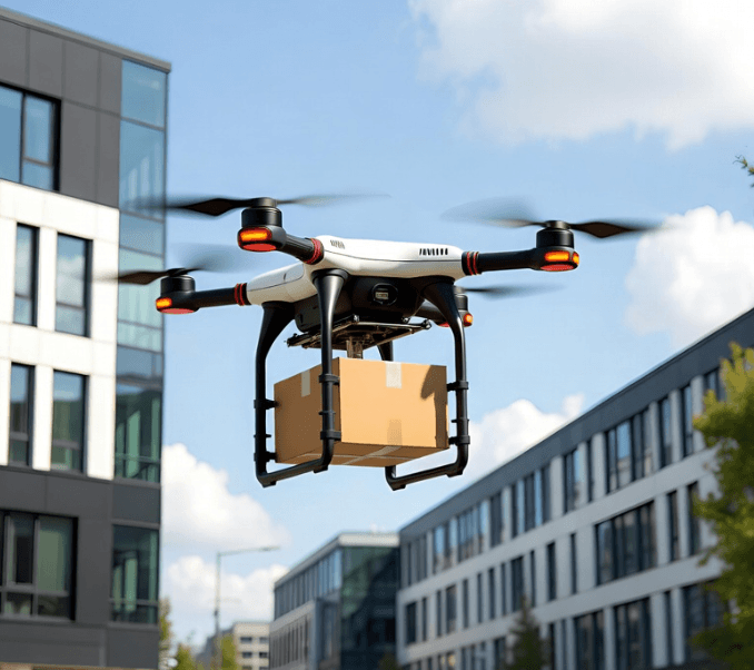
Learn how 77 GHz radar strengthens sensing, enhances safety, and supports large-scale growth in urban low-altitude drone logistics with all-weather reliability.
Ningbo Linpowave
Millimeter-wave radar is becoming increasingly important for low-altitude operations due to its ability to detect all weather, provide precise velocity data, and perform well in urban environments.
Ningbo Linpowave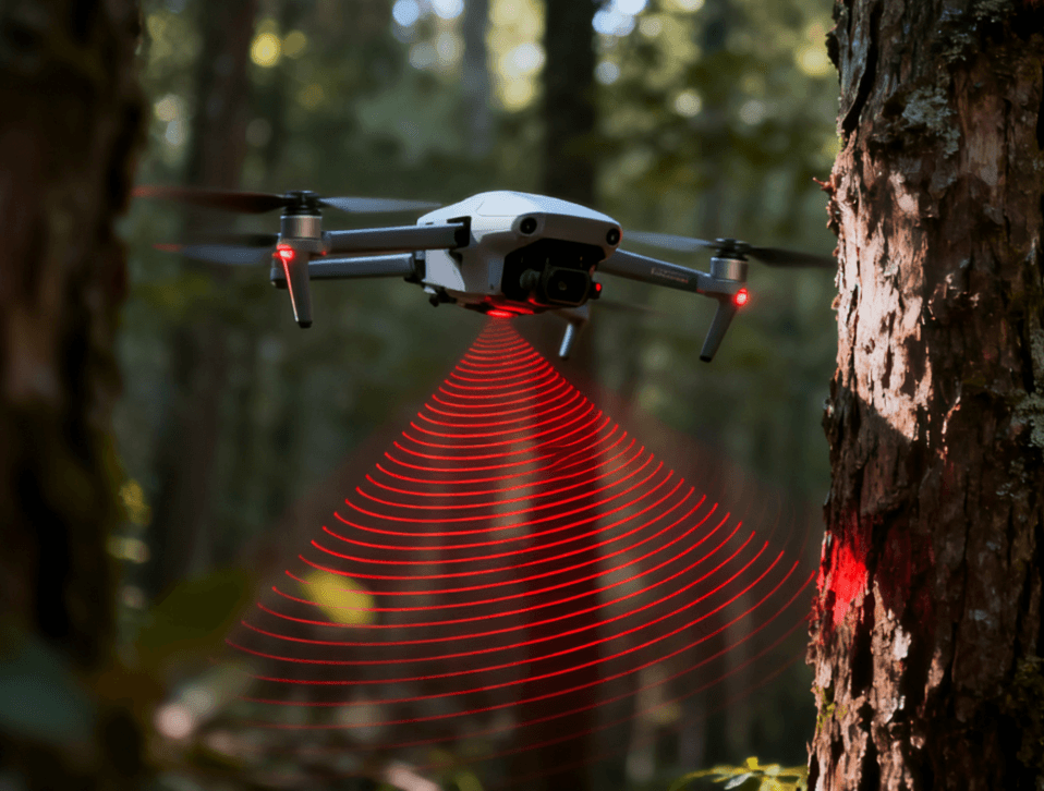
Discover how mmWave radar enhances drone safety by enabling precise obstacle avoidance and accurate altitude measurement. Learn how Linpowave’s UAV radar modules improve low-altitude flight in challenging environments like fog, dust, and low light.
Ningbo Linpowave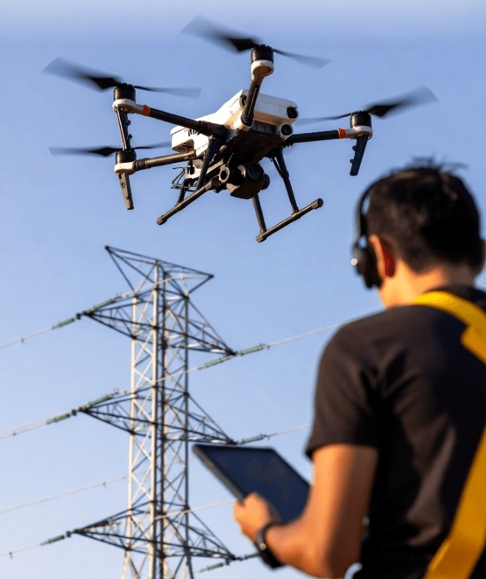
Drones and AI are transforming how utilities inspect and maintain critical infrastructure. With Linpowave’s millimeter-wave radar, inspection missions gain all-weather capability, precision sensing, and predictive power—reshaping how energy networks stay safe and efficient.
Ningbo Linpowave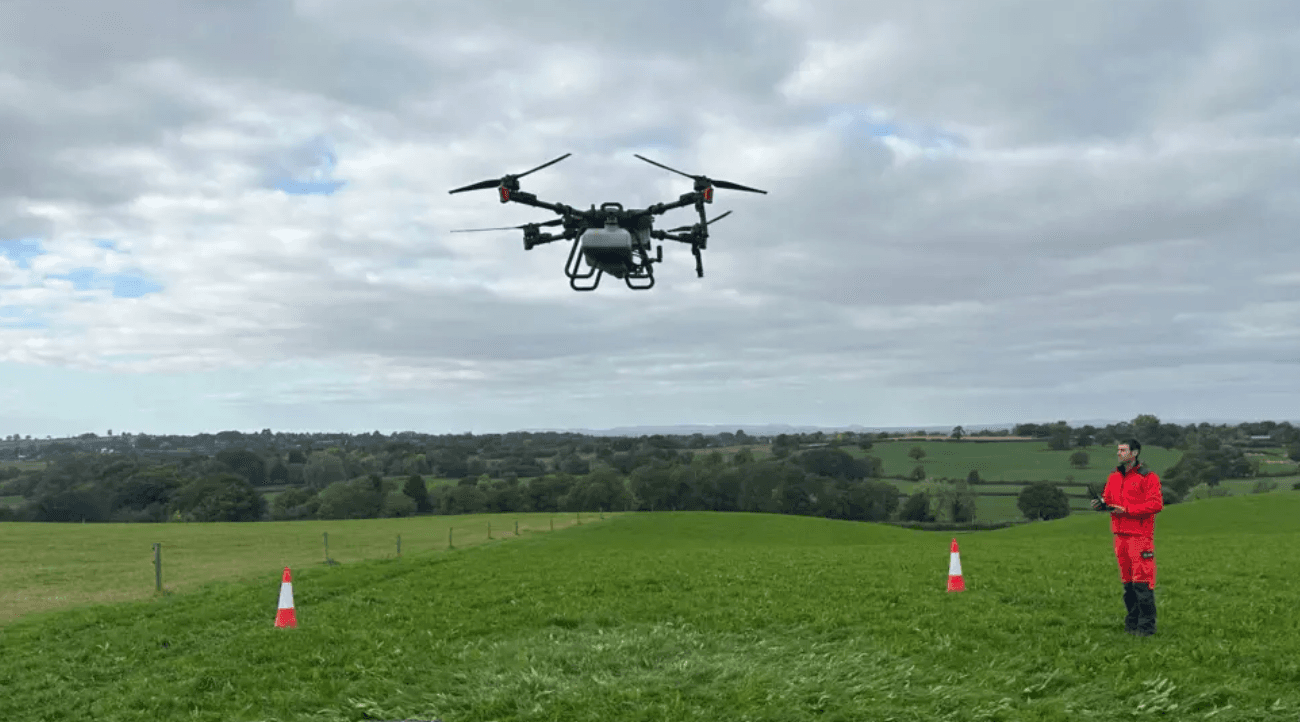
LinpoWave 4D millimeter-wave radar equips agricultural drones with precise, all-weather sensing. It measures distance, speed, and both horizontal and vertical angles, allowing 160 kg drones to navigate fields safely with 0.2 m accuracy and a 350 m range. The radar supports autonomous flight, terrain following, crop monitoring, and targeted spraying, helping farmers improve efficiency, reduce chemical use, and operate safely even in fog, dust, or spray. Its capabilities also enable coordinated drone swarms, making large-scale farming more precise and sustainable.
Ningbo Linpowave