




urban drone obstacle avoidance technology
Home
urban drone obstacle avoidance technology

EXPLORE
Millimeter Wave Radar Solutions
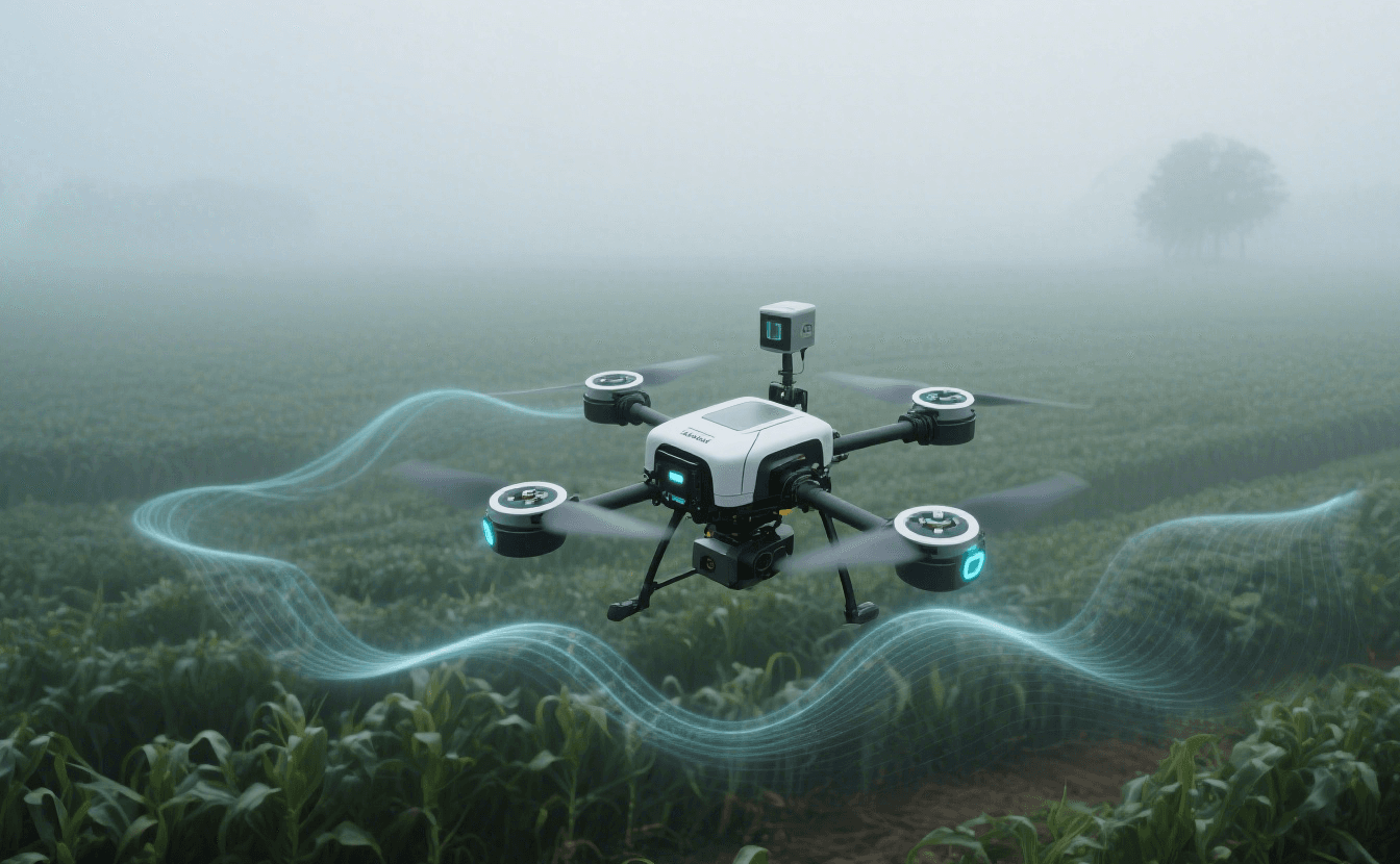
Traditional drone sensors fail in rain, fog, or darkness. Learn how mmWave radar ensures reliable all-weather navigation for UAVs across industries.
 Ningbo Linpowave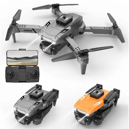
Explore how mmWave radar technology enables drones to generate real-time point cloud maps, avoid obstacles, and autonomously adjust flight paths—bringing practical innovation to agriculture, infrastructure, and emergency operations.
Ningbo Linpowave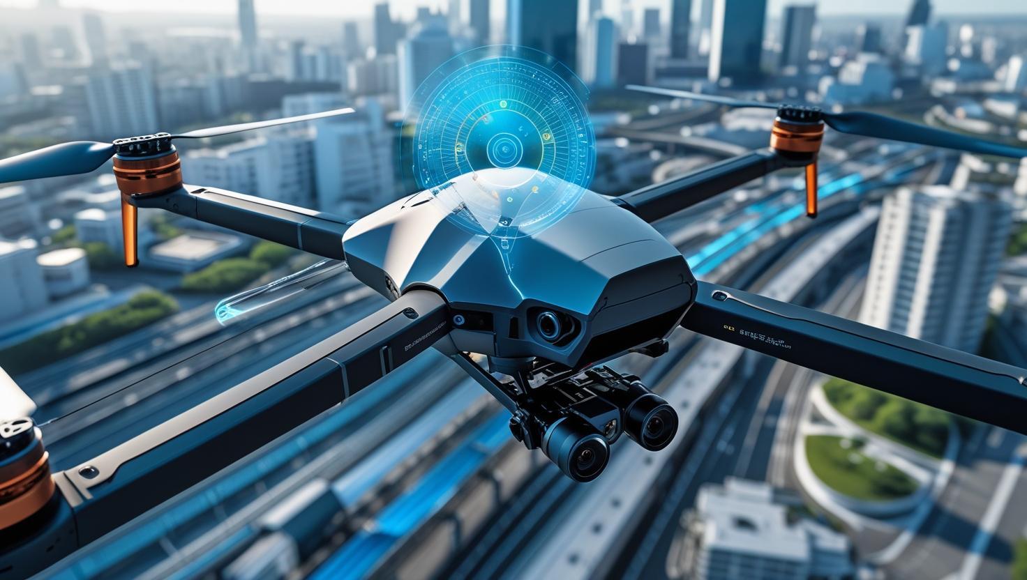
Discover how Linpowave's radar technology enhances UAV inspections in dense urban areas, enabling safe, precise, and efficient operations around buildings, bridges, and powerlines.
Ningbo Linpowave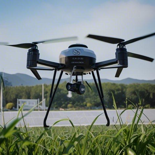
Without proper drone avoidance radar, flying a drone is like walking through a forest with your eyes closed at night. I've tested many so-called "intelligent" systems, but Linpowave's mmWave radar and specialized forward obstacle avoidance are more than just obstacle detection for agricultural drones. They're as dangerous as experienced pilots. From fog in farmland to wind tunnels in the city, this technology literally prevented my drone from crashing.
Ningbo Linpowave